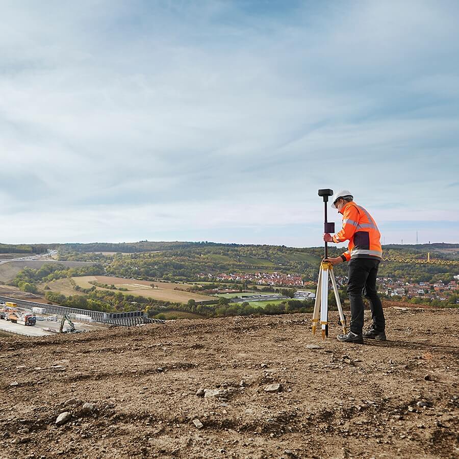
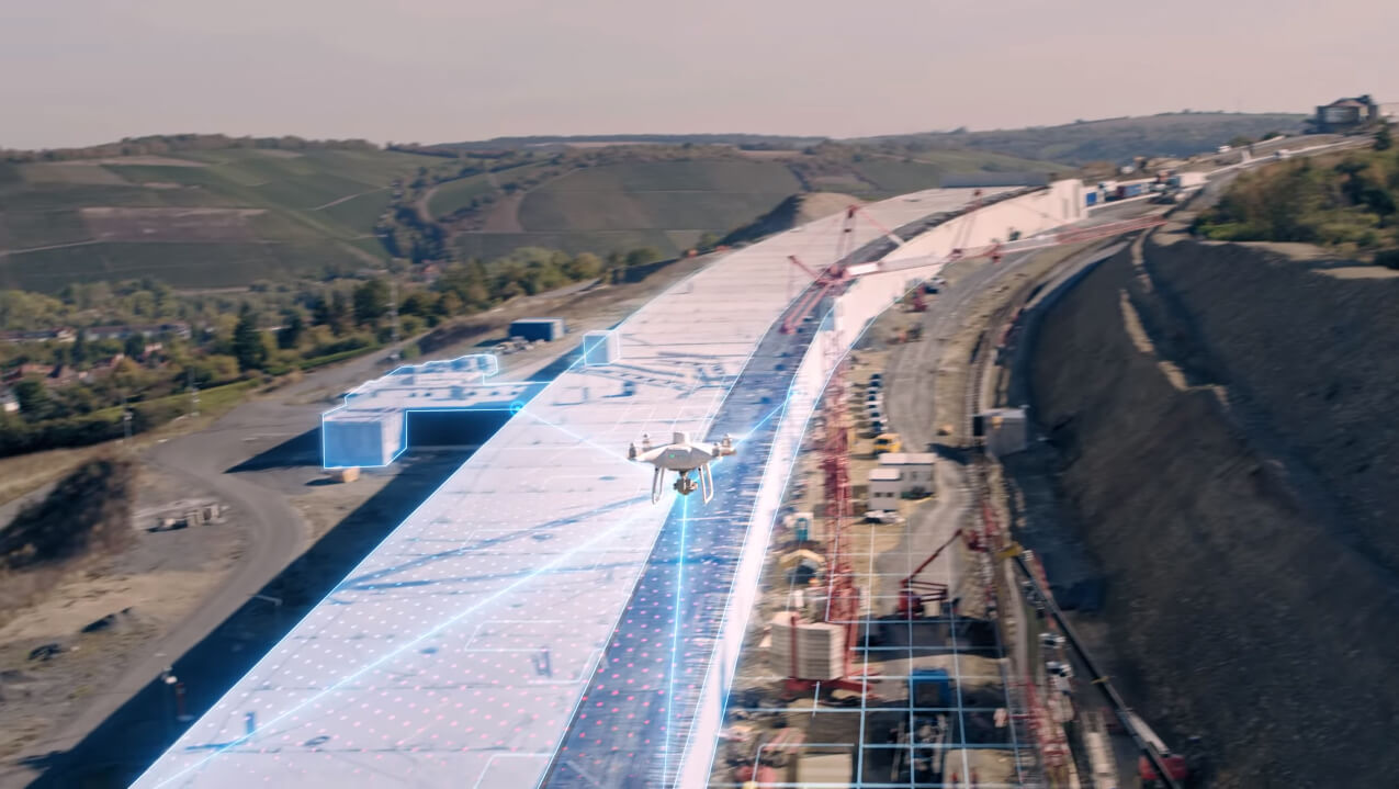
Surveying drones - how do drones support the work of surveyors?
2019-03-22
 In February, we wrote about drones with RTK system, which, by virtue of their accuracy, have taken measurements taken from the air to another level.
BSP have found application m.in. in geodesy - the science that determines the location of points on the Earth's surface, in basically every activity it encompasses.
 Surveying - wide spectrum of drone applications
In practice, surveying is: surveying plots of land and land for the construction of all kinds of buildings, roads and highways, making maps for the creation of projects, plans for the development of agricultural and forest land, mapping construction sites.Surveyors of the profession take measurements for mapmaking, prepare land inventories and landform descriptions.
They also deal with the assessment of the value of real estate on the basis of surveying and mapping documentation collected.
Just by looking at the specifics of the surveying profession, it is safe to say that drones are a tool for work like from dreams.

What surveying drones should be like?
Certainly they must have high quality and high resolution images - for the creation of orthophotos or Numerical Terrain Model (NMT or DTM Digital Terrain Model).Photographs for records or cadastre also need to be accurate and legible, if only so that it is easy to demarcate properties or simply verify the belonging of individual objects to a specific area.
Orthophotos from a drone are developed through low-altitude aerial photography and have several to several centimeters of pixel field resolution.
The classic application here would be 3D modeling and mapping using photogrammetric software such as Pix4D, DroneDeploy, or Altizure.
The camera is therefore important. Drones with RTK system commercially available have light-sensitive CMOS sensors with a size of 1 inch. This allows image quality to be maintained despite deteriorating lighting conditions and a larger field of view relative to standard 1/ matrices2.3
When choosing a drone, the surveyor should also be guided by its automation - after all, the idea is for the craft to take over some of the duties.
So it is important to have an advanced autopilot system and intelligent functions such that you can set a flight route, during which the drone will record footage without a pilot, and then all you need to do is to process it already, for example, from the office.
In addition, the drone should be stable and as accurate as possible-every centimeter of deviation is important for the accuracy of the image you want to get.
The drone market offers several items that will work well in surveying. However, given the requirements for as much accuracy as possible, we recommend choosing from among RTK drones, that is, proposals from DJI:
And from Yuneec:
Show more entries from
March 2019