Drone Harmony software - Professional 1 year

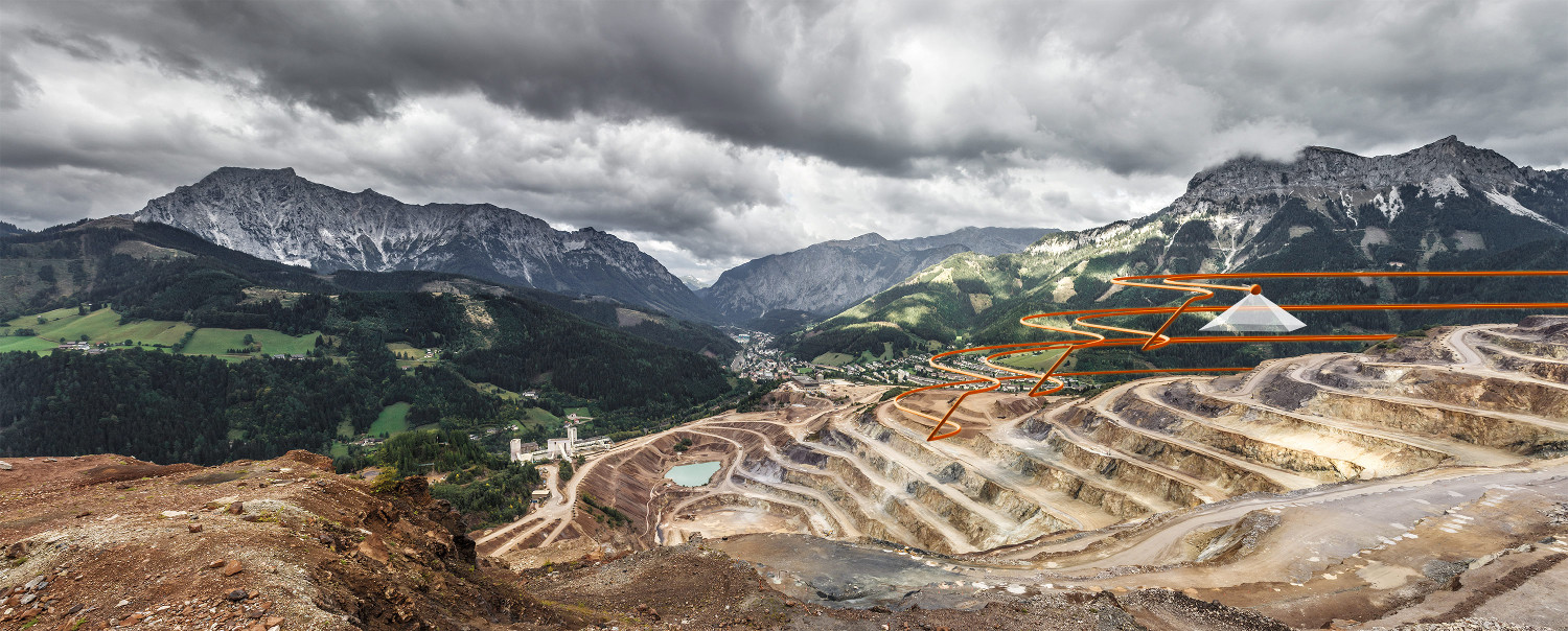
Mapping and inspection
Easily map mines, quarries, forests and other complex terrains using the most advanced terrain mapping features on the market. It guarantees excellent mapping results even in the most complex topography, using custom terrain data to automate flight planning and execution.
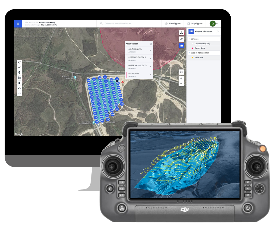
Data acquisition solution for inspection and mapping
Drone Harmony mapping and inspection software is a comprehensive commercial mapping and inspection data acquisition solution for professionals and enterprises looking to maximize the productivity of their drone workflows. Drone Harmony offers fully integrated 3D web and mobile applications that cover every aspect of data acquisition, from flight planning to flight automation and data review.
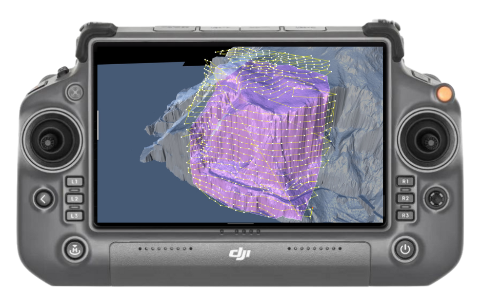
Easily plan complex missions
Access the most powerful 3D data capture software from any web browser or mobile device, supporting all common mapping and inspection cases: Surveying, 2D Mapping, 3D Mapping, Mining, Construction, Industrial Inspection, Solar Inspection, Oil and Gas and more. Take advantage of the richest feature set of automated tools combined with the flexibility to make any changes to your 2D and 3D flight missions. It enables seamless collaboration between planners, field teams and data engineers.
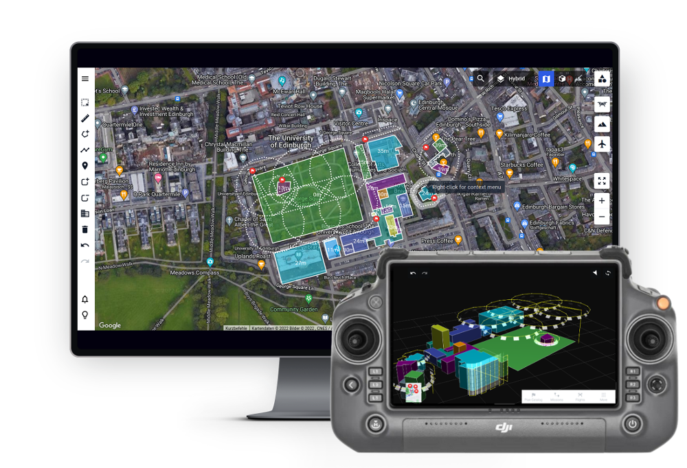
Fly and collect data with confidence
Give every field operator the opportunity to become a drone pilot with safe, automated drone flights. Minimize the learning curve and gain buy-in for your drone program from field crews by proving to them an easy-to-use, safe and intuitive flight application.
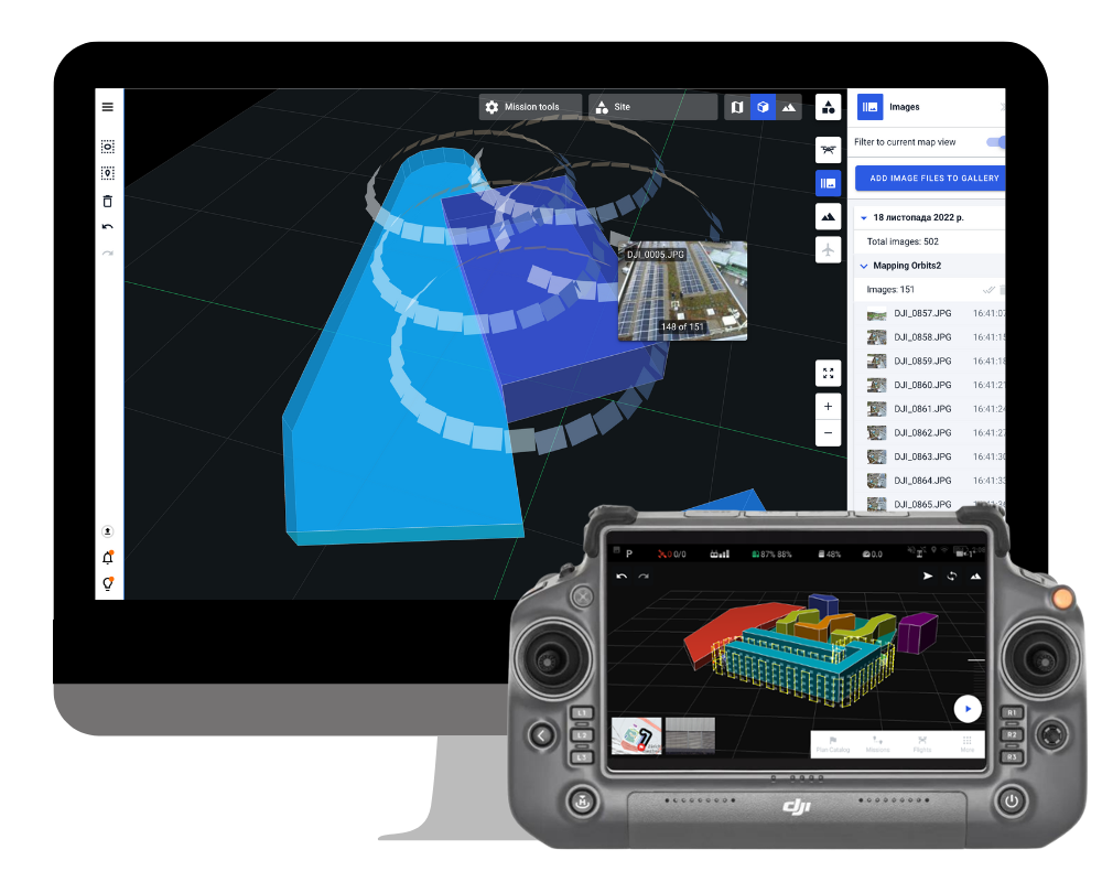
Overview of flights and captured data
Access all flight logs and post-flight image metadata files in the web app to organize and preview captured data. Overlay image data on the Drone Harmony interface to gain initial insight into asset health and plan additional captures accordingly. Automatically sync flight logs with your compliance software provider.
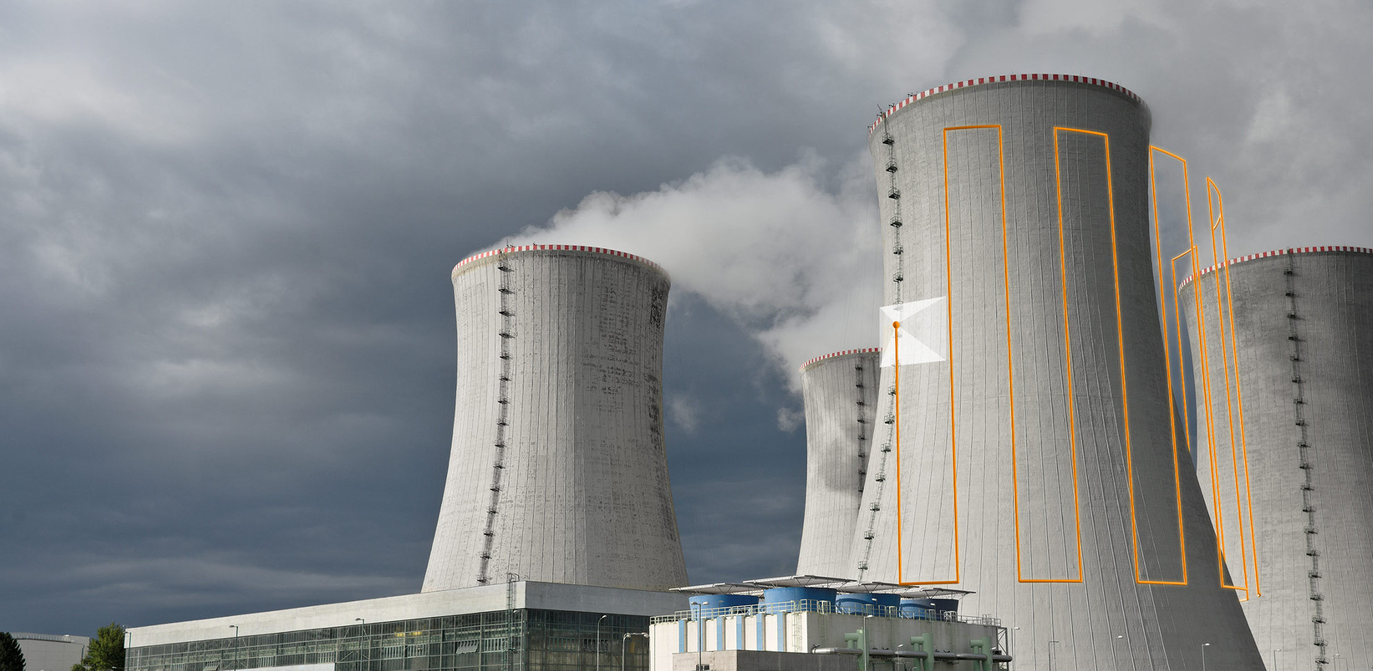
Faster visual inspections of industrial assets
Drone Harmony's 3D scene-based workflow provides the best set of tools for automating drone-based inspections of industrial assets such as buildings, silos, hangars, cranes, etc. Drone-based inspections provide a safer and more accurate alternative to traditional manual visual inspection methods.
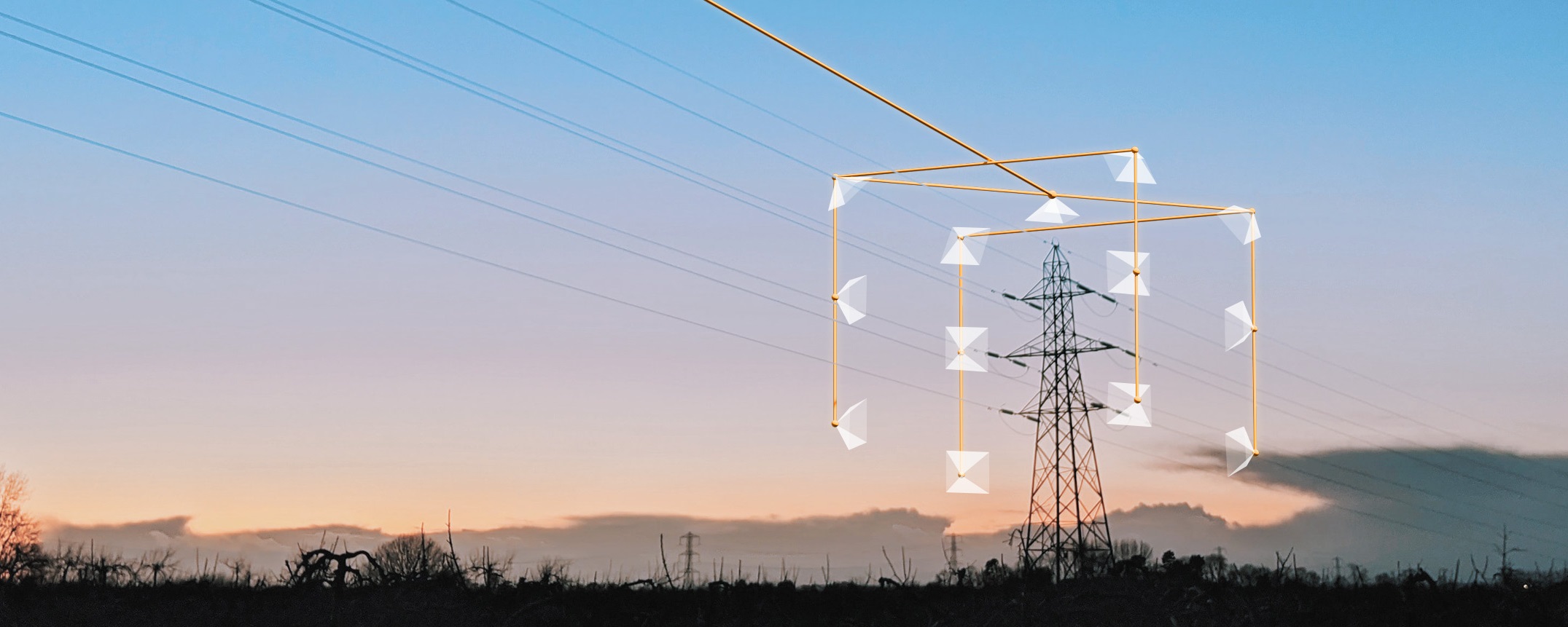
Harmony drone for power line inspection
Drone Harmony Power Scanner is a data acquisition software platform dedicated to capturing data from utility poles and power lines on a large scale. It provides a fully integrated set of tools for planners and field operators to plan, coordinate and execute safe drone flights to collect data around energy infrastructure. First and foremost, it was designed with data analytics in mind, providing unparalleled customization and integration capabilities.
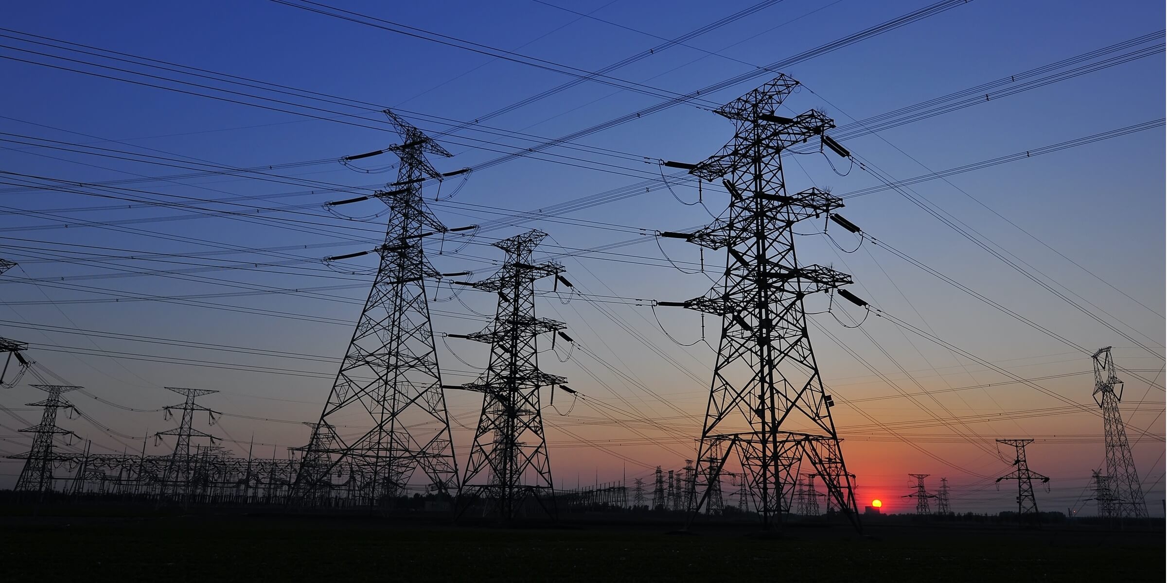
Improving inspections of energy plants
Power Scanner is a data acquisition tool designed to achieve standardized and efficient data collection. It offers centralized control over flight pattern management, data resolution and capture methods, ensuring uniform data collection by all field crews. Power Scanner improves data acquisition by eliminating inconsistencies and discrepancies in the collected information. Auto-referencing connects data to physical assets, making it easier to organize and analyze, preventing data disorganization and increasing the overall efficiency of digital inspection processes.
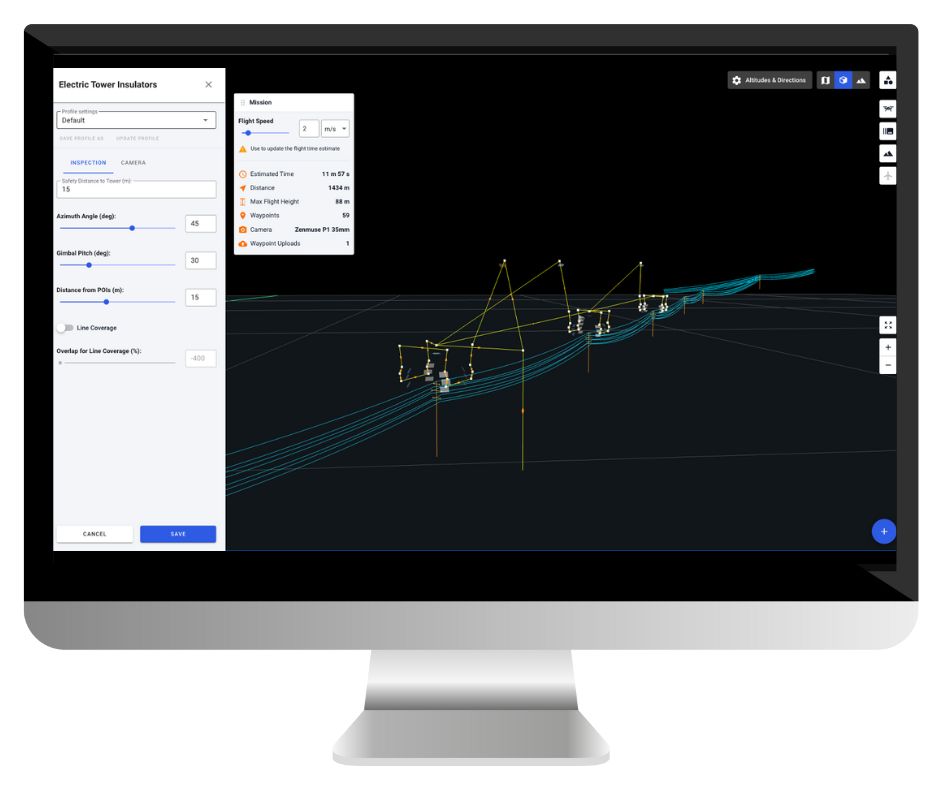
Efficient and customizable mission planning
Plan your flights with confidence in a full-3D visual interface that guides you through every step of the process. Power Scanner generates flight-ready missions optimized for specific types of power lines, masts and transmission towers.
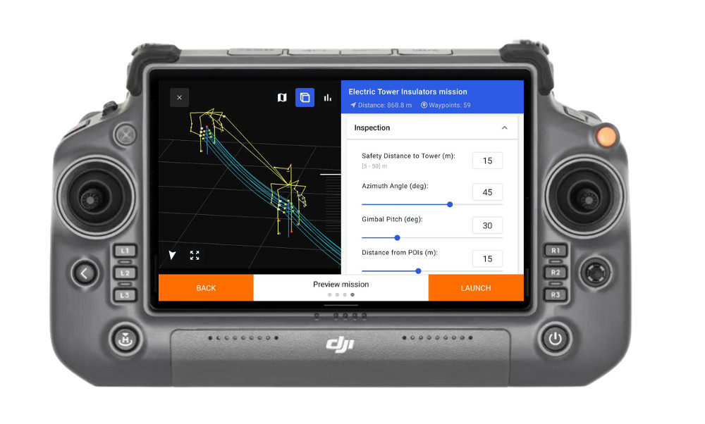
From launching the application to taking off the drone in 2 minutes
The Power Scanner mobile app is designed to maximize safety and performance in every scenario. The simple three-step workflow is as easy as selecting the assets you want to inspect on the map (poles, lines), selecting the inspection type, and tapping Run. At the same time, for those complex cases where the standard workflow is not enough, Power Scanner provides all the flexibility needed to make any required adjustments in the field: loading designs, adding obstacles, adjusting flight parameters, adjusting quality requirements.
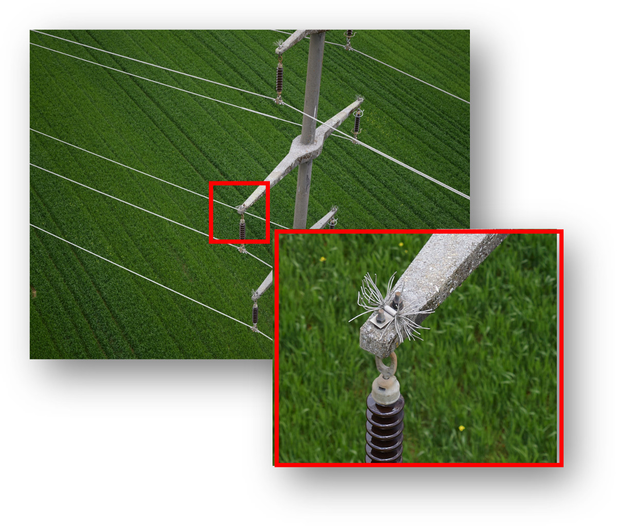
Unprecedented detail in images
The Power Scanner flight application calibrates automatically to achieve maximum flight accuracy, resulting in sharper and more detailed image data than any other drone inspection software. Power Scanner takes full control of the drone and payload, ensuring perfect positioning, camera angle, centering, focus, shutter and light for every image.
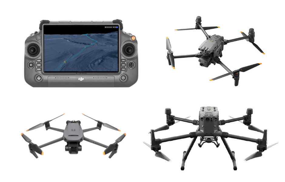
Use your preferred hardware and software
Drone Harmony supports all DJI professional drones and custom payloads, including the highly advanced Phase One P3. What's more, it's designed to seamlessly integrate with DJI Smart Controllers and is available on multiple platforms. This allows users to access its advanced features regardless of their preferred device. But that's not all - our software also integrates seamlessly with leading software solutions for error detection, photogrammetry, annotation and reporting. Take full advantage of all the advanced features offered by Drone Harmony, while leveraging the power of other industry-leading solutions.


 Drone service
 Rental
 Reliability
 Trust
Trust Own warehouse
  Warranty