

Full real-time situational awareness
FlightHub 2 is a comprehensive, cloud-based drone operations management platform that helps you achieve comprehensive, real-time situational awareness. Access all the information you need to plan your drone missions, oversee your fleet, and manage the data you create - all in a secure, cloud-based environment.

2.5D basemap
Integrate elevation data with satellite maps to increase field awareness when planning operations.
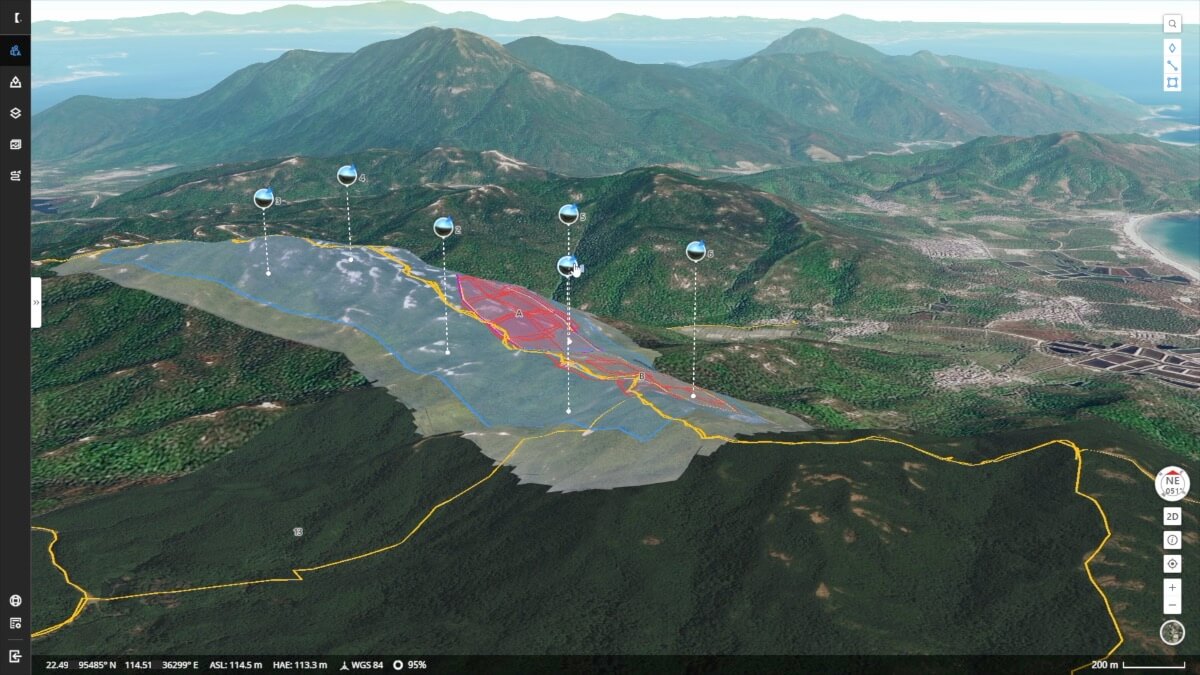
One-touch panoramic image sync
Create a 360° view and upload it to the cloud with just a touch of your finger. The shared panoramas, along with the coordinates from which they were taken, are placed on the mission's 2.5D basemap, giving all team members quick access to aerial information.
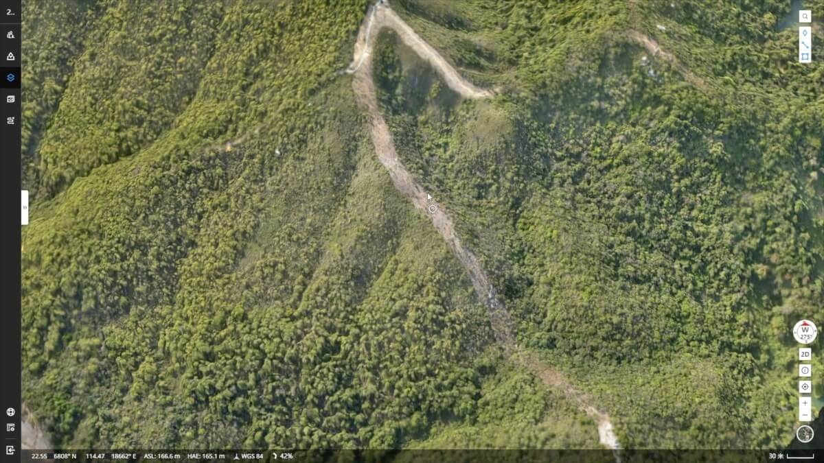
Cloud mapping
Generate RGB orthomosaics or thermal maps of areas up to 1.5k㎡ in one flight. Orthomosaic is automatically overlaid on the 2.5D basemap, providing detailed knowledge of the mission environment when needed.
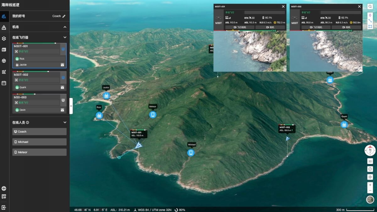
Live transmission of the mission progress
Connect multiple users to one or more drone missions simultaneously and keep teams up-to-date with live, high-definition, low-latency video.
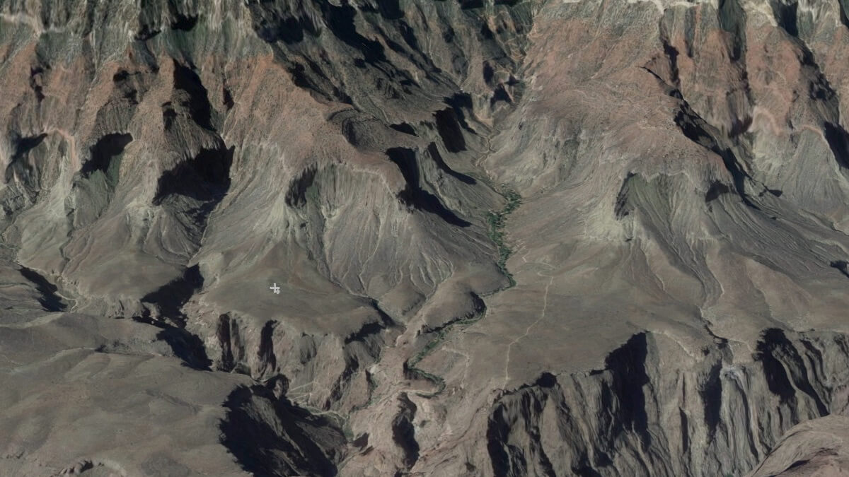
Live Annotations
Highlighting objects or areas of interest for effective mission management and unit deployment. Annotations are visible to ground teams, drone operators, or any team member, allowing you to quickly customize missions and split tasks.
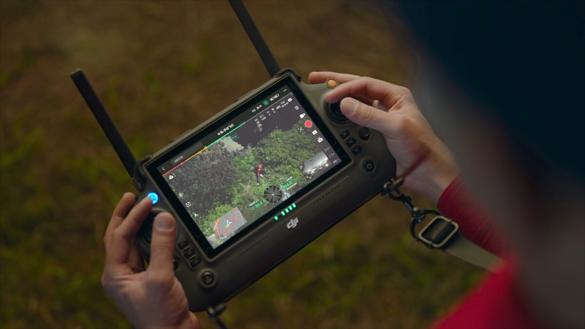
Improved team communication
Sync valuable information like team position, drone status, mission details, and more in real time and across multiple device types. Collaboration between teams becomes easier than usual.
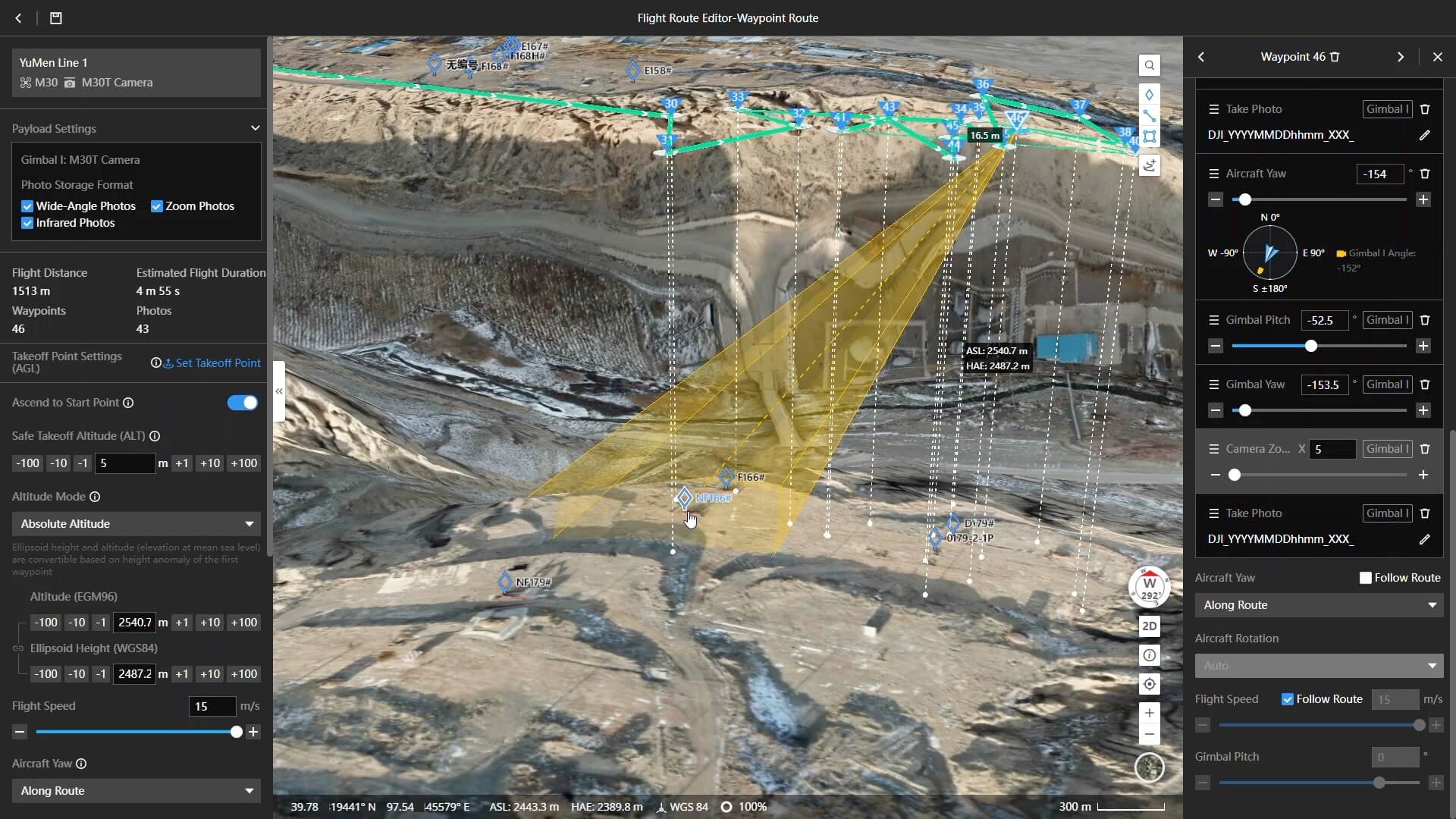
Route planning and mission management
Create all kinds of missions directly from your computer using a 2.5D basemap. Displaying a preview of the assumed results for each mission point affects the safety of the flight path and high data quality. Synchronizing the mission with drone operators will allow for effective and convenient execution of the task.
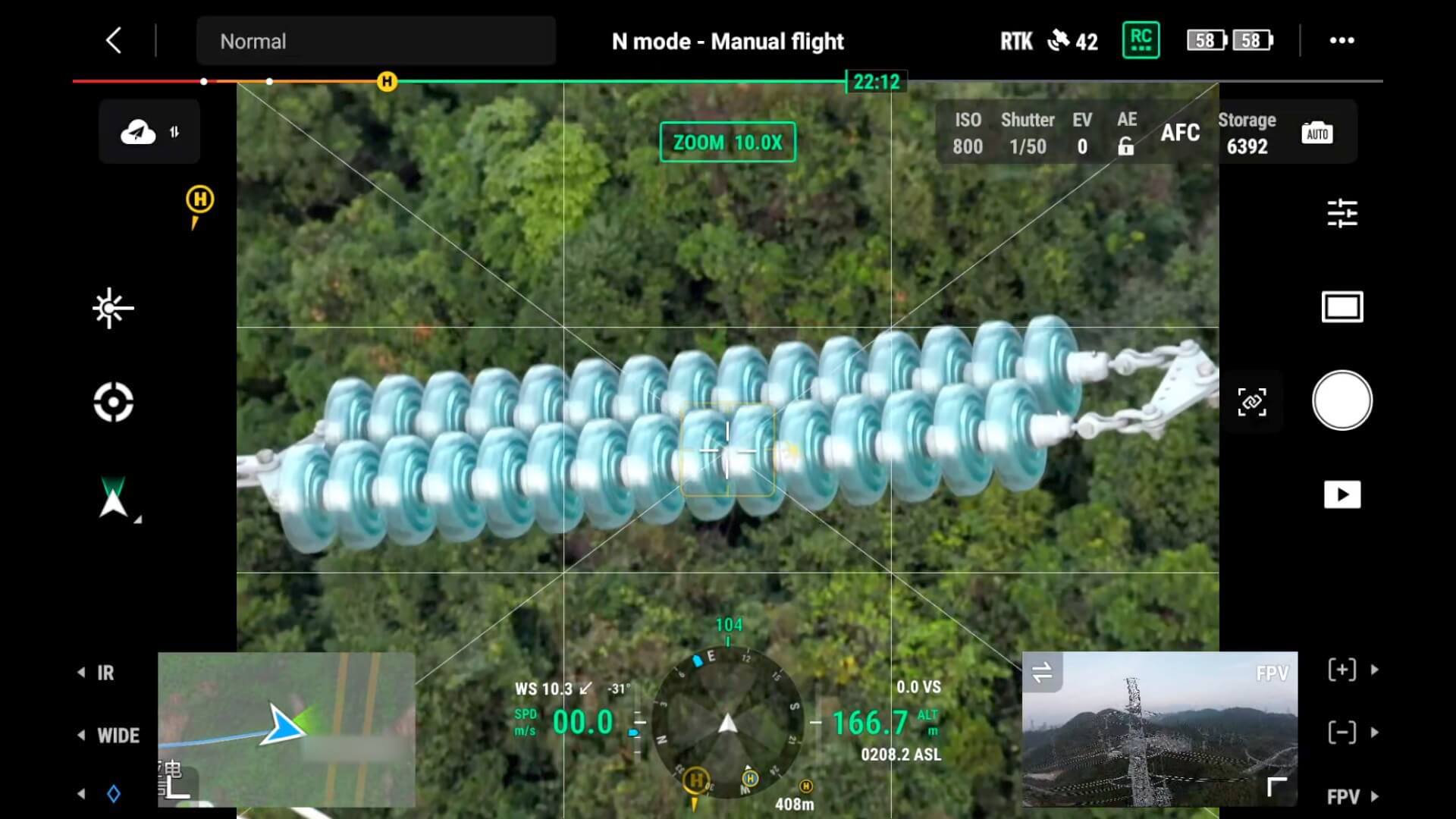
Multimedia asset management
View the results of your missions in the cloud. Open any captured photo, video, or panorama and it will be displayed on a 2.5D basemap along with the corresponding coordinate information.

DJI Dock autonomous missions
FlightHub 2's full compatibility with the DJI Dock offers a whole new approach to working remotely.
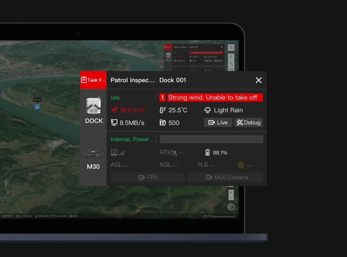
Alerts
In the event of unusual conditions such as heavy rains, high winds or other situations that may affect the flight mission or the integrity of the equipment, FlightHub 2 will automatically trigger alerts.

Remote technical support
Remotely check the status of the DJI Dock and perform debugging as needed. Keep your drone up and running without the need for constant maintenance visits.
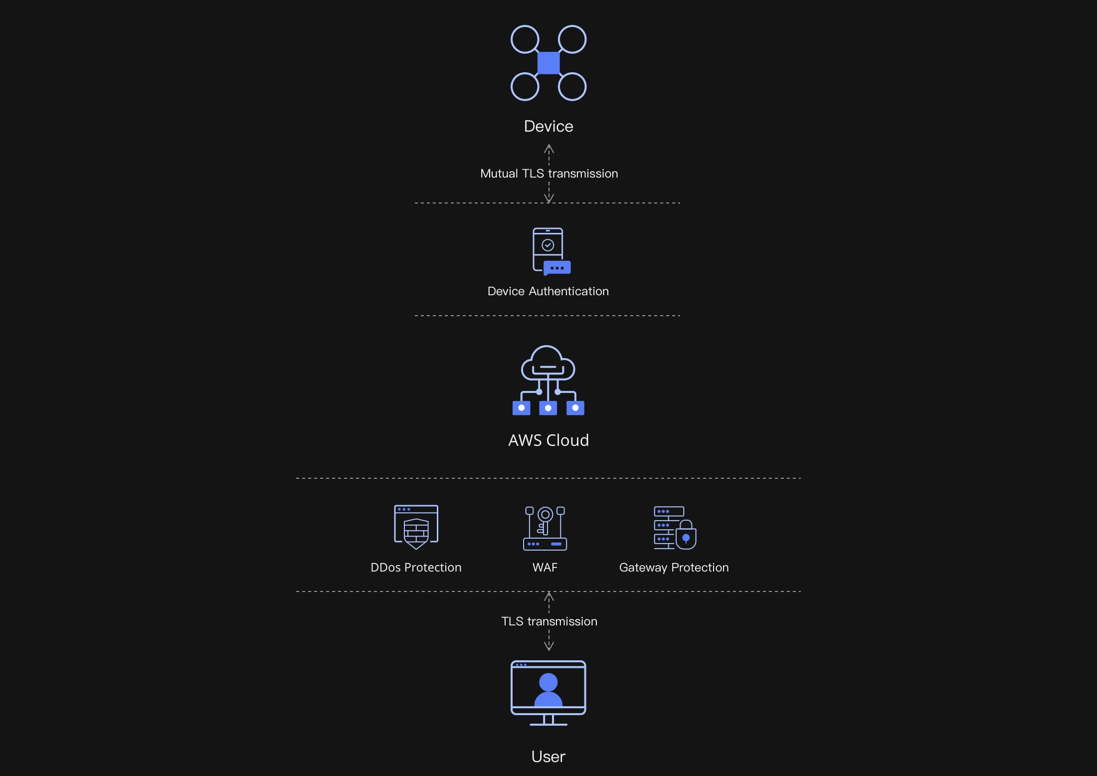
Security of your data
DJI FlightHub 2 uploads, stores, and manages data on cloud servers powered by Amazon Web Services that are compliant with ISO/IEC 27001 security certifications.


 Drone service
 Rental
 Reliability
 Trust
Trust Own warehouse
  Warranty