


 Drone service
 Rental
 Reliability
 Trust
Trust Own warehouse
  Warranty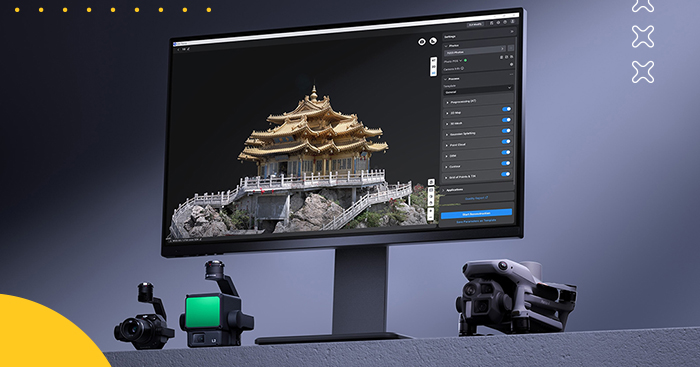
Find out what LiDAR software, 2D and 3D reconstruction, 3D building models, and orthophoto maps are used for.



Take your drone mapping and 3D editing workflow to the next level with DJI Terra Standard + DJI Modify Flagship. This lifetime digital license bundle gives you a powerful all-in-one environment for 2D mapping, 3D reconstruction, LiDAR point cloud processing, terrain generation, and advanced model editing. Fully integrated with DJI drones and DJI Enterprise hardware, it helps you move smoothly from data capture to processing, cleanup, analysis, and sharing.
Whether you're building realistic 3D models, creating orthomosaics, processing multispectral missions, or refining point clouds for GIS and CAD workflows, this package delivers speed, flexibility, and a much more convenient user experience.
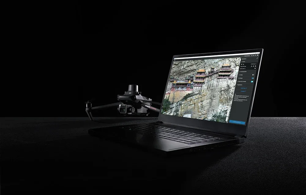
DJI Terra introduces 3D Gaussian Splatting to generate highly realistic spatial models from photos. This makes it much easier to recreate complex objects such as buildings, landmarks, vegetation, and reflective surfaces with impressive visual fidelity. Compared to classic oblique photogrammetry, this method handles transparent elements, reflections, and tiny details much more effectively, while also helping produce cleaner, less distorted orthophotos.
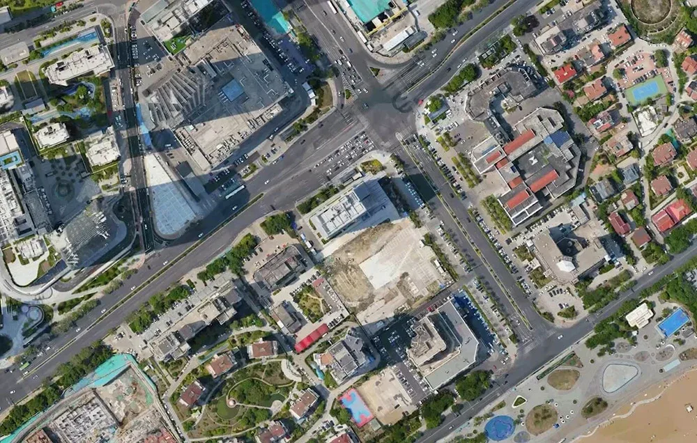
Need speed? DJI Terra is built for efficient performance. It can process around 500 photos per hour, and for single-block modeling, reconstruction can take as little as 30–40 minutes. For projects with more than 10,000 images, the technology can operate up to twice as fast as the previous Terra Mesh engine, helping you complete large-scale jobs more efficiently.

DJI Terra performs especially well in advanced mapping scenarios. The software can process roughly 300–400 photos per 1 GB of available RAM, and a single reconstruction task can include up to 30,000 images. That makes it a great choice for modeling city districts, industrial parks, infrastructure networks, and other extensive environments.
Even with its advanced capabilities, DJI Terra remains approachable in terms of system requirements. Smooth operation is possible with a graphics card featuring 4 GB of VRAM and 32 GB of RAM, so you can tackle advanced reconstructions without immediately investing in an ultra-expensive workstation.
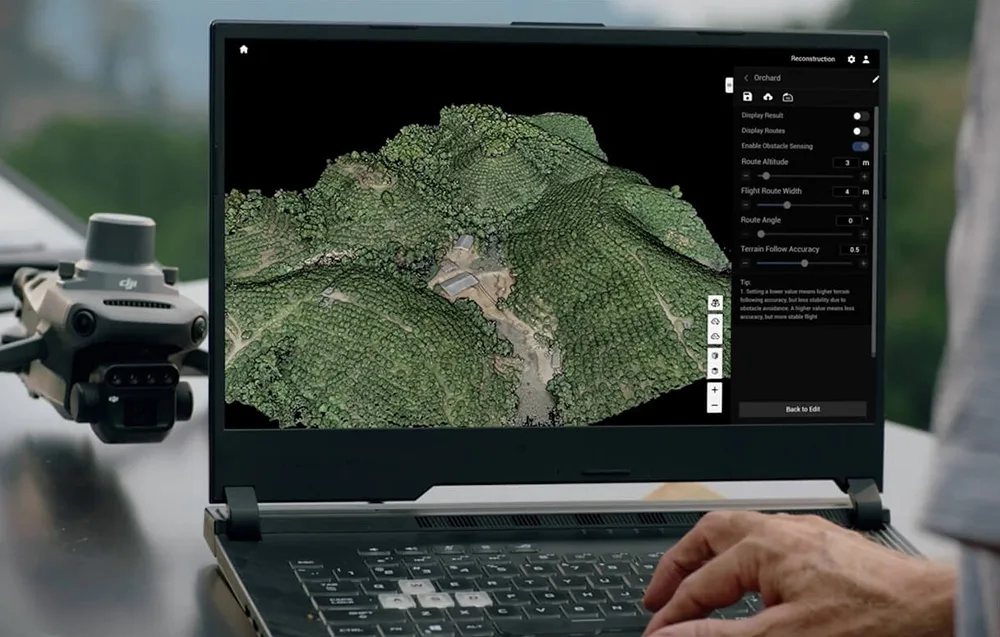
Reconstruction results can be exported with a single click to widely used formats such as PLY and B3DM (3D Tiles). This makes it easy to move your data into external platforms used in surveying, urban planning, game development, film production, and more.
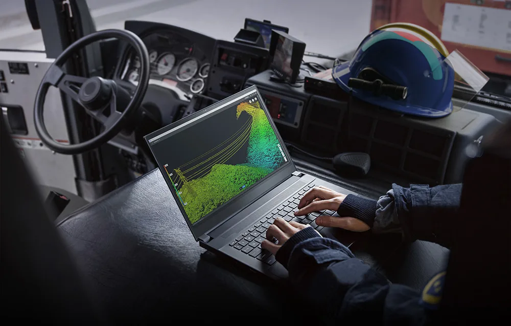
DJI Terra can generate high-quality 3D models, point clouds, orthomosaics, and DSM surface models from image data. You can also adjust 2D map resolution and 3D mesh density, then export results in industry-standard formats. When paired with DJI drones equipped with RTK positioning, the software can produce maps with 1:500-grade accuracy without requiring ground control points in certain workflows.
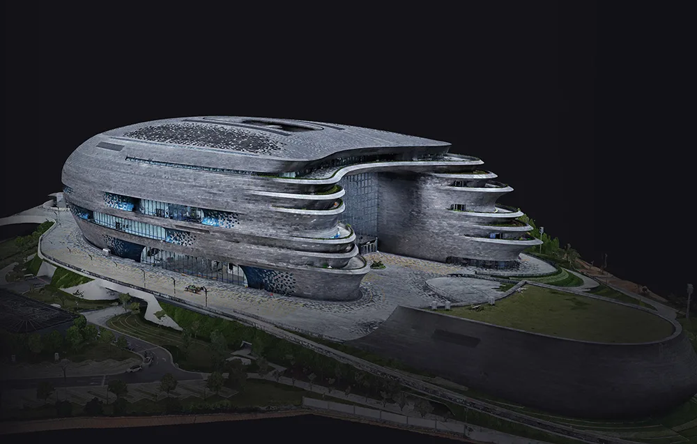
DJI Terra is fast enough to generate results directly in the field for smaller projects. For larger 3D reconstruction jobs, it can process up to 30,000 photos in 3 days on a single workstation or in as little as 21 hours using cluster technology. For 2D reconstruction, 5,000 photos can be processed in under 2 hours, or around 80 minutes in cluster mode.

DJI Terra supports deep integration of LiDAR data and visible-light imagery. A single mission using Zenmuse L2 can deliver precise point clouds, 2D maps, and 3D mesh models at the same time. This leads to more complete and detailed reconstructions, especially for complex objects like bridges. With RTK and PPK, centimeter-level accuracy is possible without ground control points in appropriate workflows. The software can also automatically generate flight routes based on local 3D models or point clouds, including data from external sources.
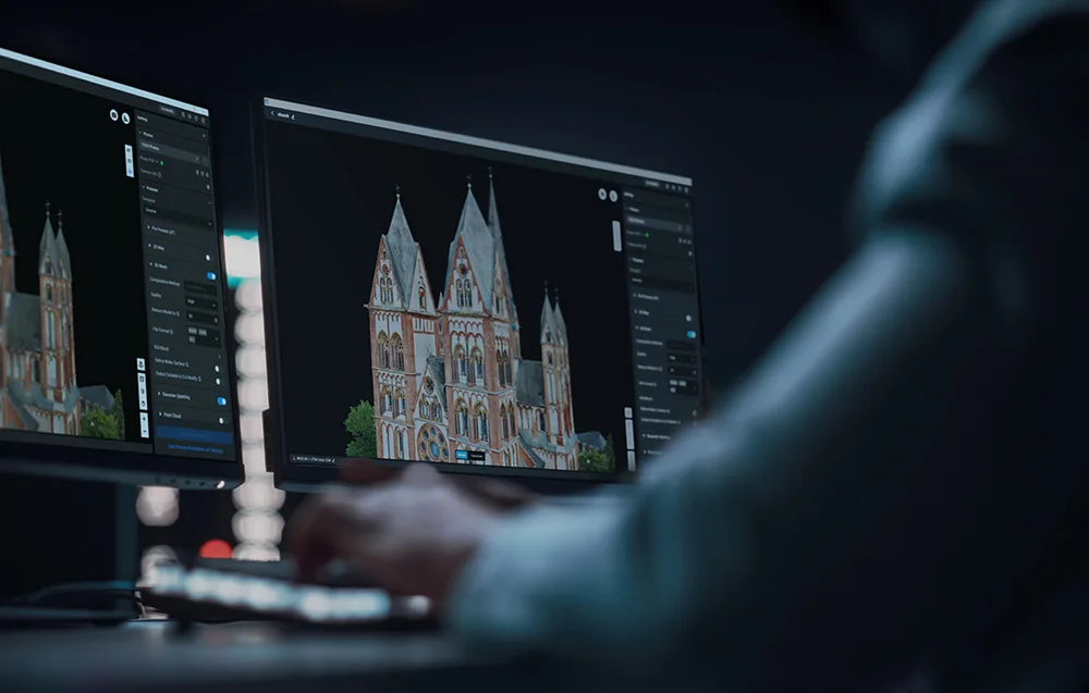
DJI Terra can process about 1 GB of point cloud data per 1 GB of available RAM, allowing it to handle advanced projects smoothly. In practice, a computer with 32 GB RAM can process up to 120 GB of data, covering an area of roughly 10 km². For city-scale datasets, systems with 128 GB RAM can be used.
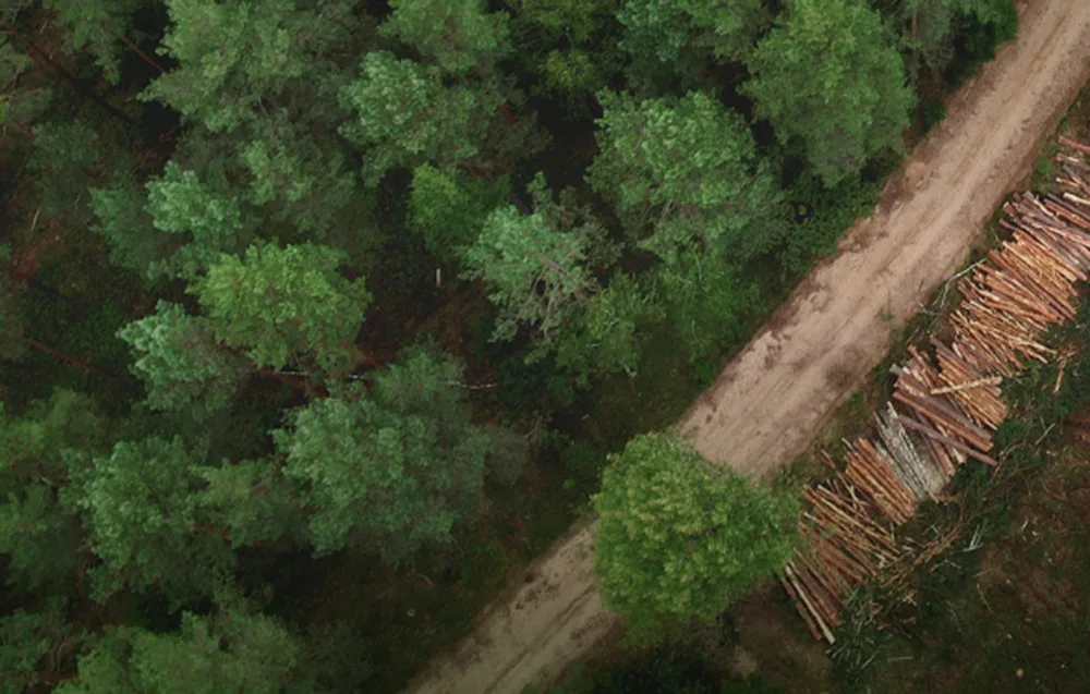
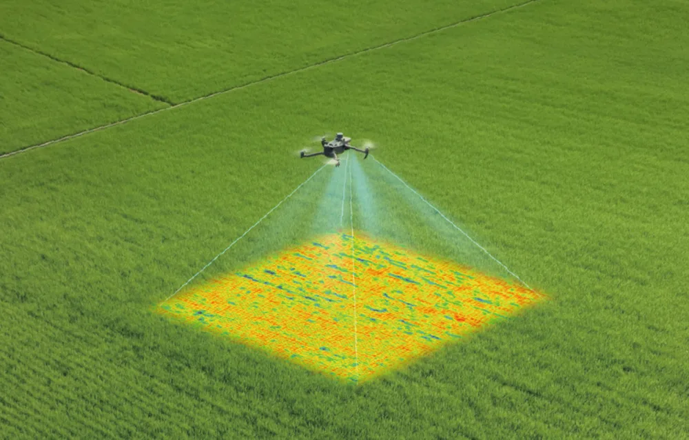
DJI Terra supports data from DJI Mavic 3 Multispectral and Phantom 4 Multispectral drones, enabling the creation of vegetation index maps such as NDVI and NDRE. It can also generate reflectance maps and spraying routes for DJI Agras drones, including variable-rate applications. Just select the crop type and the software will create optimized 2D maps designed for agricultural use.
The software is designed for distributed environments, making it possible to process huge datasets beyond the limitations of a single workstation. With a configuration of five work units, up to 30,000 photos can be processed in around 21 hours. You can also scale the number of devices according to your project needs.

DJI Terra works with a wide range of DJI Enterprise equipment, including DJI Matrice 4E, DJI Matrice 400, Zenmuse P1, Zenmuse L2, and D-RTK 3. Together, they create a complete photogrammetry and LiDAR mapping solution for a broad variety of professional and enthusiast-style technical workflows.
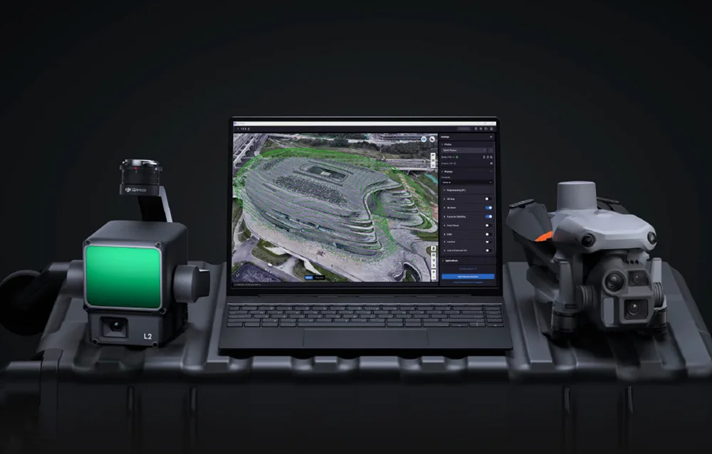
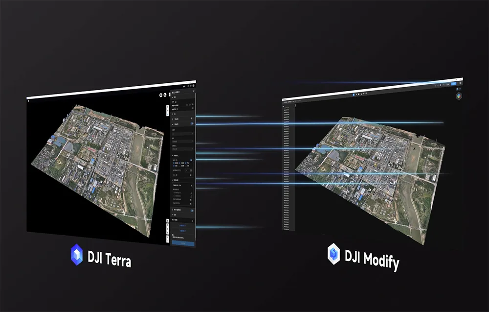
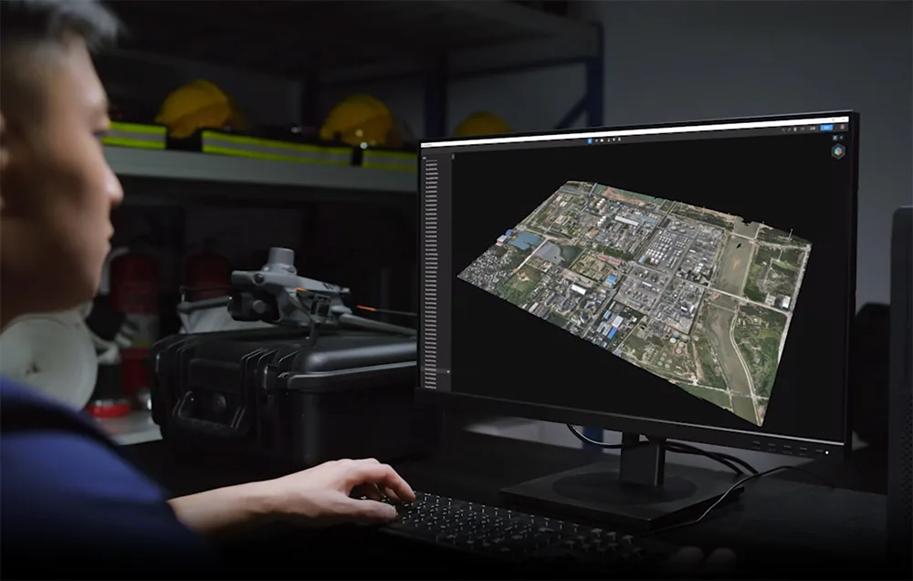
With a single click, you can transfer a model from DJI Terra directly into DJI Modify – DJI’s dedicated editor for meshes and point clouds. This gives you access to practical editing features such as smoothing, denoising, sampling, terrain classification, and export to GIS and CAD software. Together, DJI Terra, DJI Modify, and DJI drones create a complete workflow from data capture to modeling, editing, and sharing.
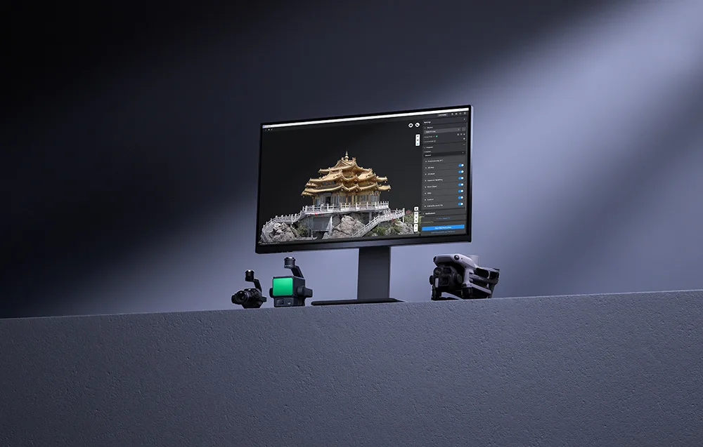
DJI Terra also supports local and cloud-based PPK processing, marking of control and check points, and compatibility with more than 8,500 coordinate systems, PRJ files, and seven-parameter transformations. You can additionally perform measurements, add annotations, and export data in line with local mapping standards.
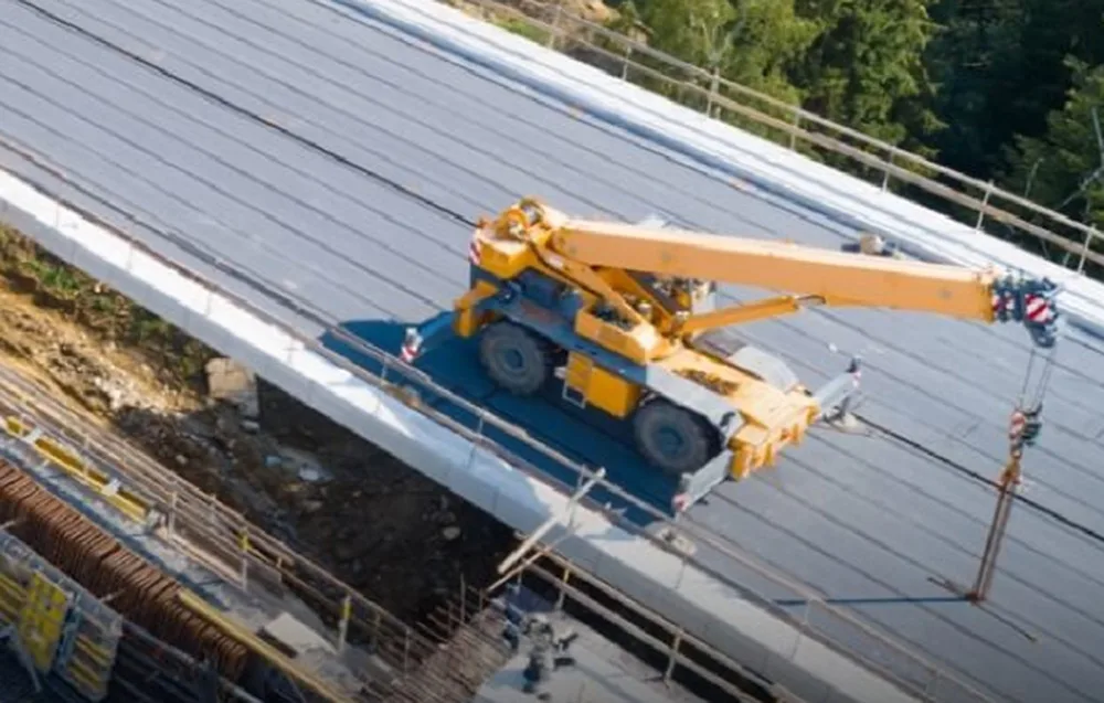
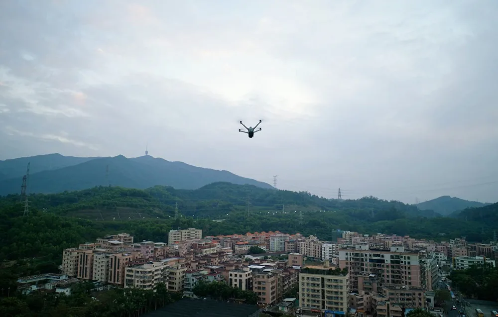
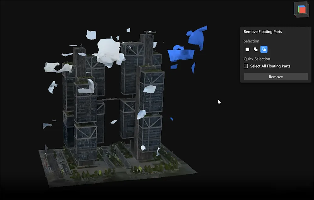
DJI Modify Flagship is DJI’s intelligent software for editing 3D meshes and point clouds, designed for smooth operation, intuitive controls, and strong performance. It allows you to quickly smooth surfaces, reduce noise, lower point density, classify data, and generate terrain results. It can also automatically clean up defects such as holes, suspended fragments, or unwanted vehicles in the model.
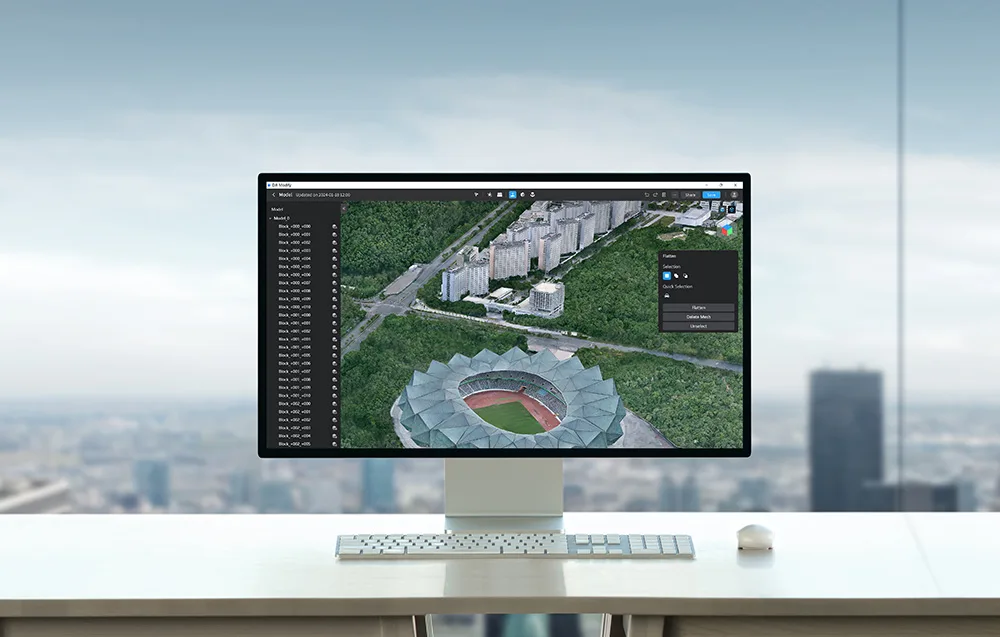
DJI Modify integrates naturally with DJI Terra, making it easy to continue working on reconstruction results without breaking your workflow. Terrain outputs can be exported to formats compatible with GIS and CAD standards, making the software suitable for mapping, surveying, emergency response, transportation, and more.
The interface of DJI Modify is designed to be straightforward and beginner-friendly, so you can get started fast without digging through overly complicated tools. Everyday operations such as importing, exporting, texture repair, and automatic vehicle flattening are smooth and easy to manage.
DJI Modify allows you to display and edit high- and low-quality models in one interface. All changes are synchronized and visible in real time, making it easier to prepare files for different applications without constantly switching views.
The software supports adjustable point size and multiple display modes, including RGB, Elevation, Class, Intensity, and Number of Returns. An RGB and Class color overlay is also available, helping you visually evaluate classification results more effectively.
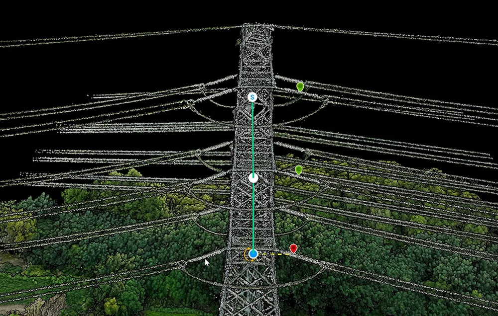
With the Smart Filter function, DJI Modify can automatically distinguish ground, vegetation, buildings, wires, utility poles, vehicles, and moving objects, especially in urban environments. It also includes precise correction tools such as fast selection, structure selection, rectangular selection, brush selection, and single-point editing, plus tolerance adjustment for targeting similar colors.
DJI Modify supports both selective and global noise removal, point density adjustment by distance or percentage, and smoothing of point clouds. This helps improve both the visual quality and structural readability of your models while giving you more control over the final output.
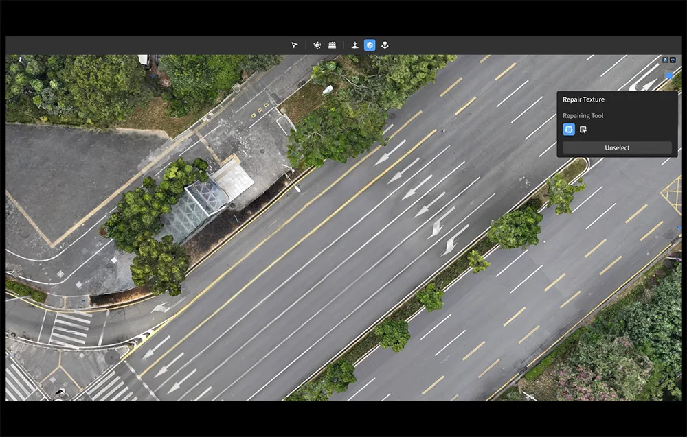
The software can process classified ground point clouds to generate DEM, TIN, contours, and point grids. This is especially useful for surveying, land planning, environmental analysis, and terrain-focused workflows.
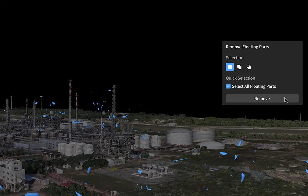
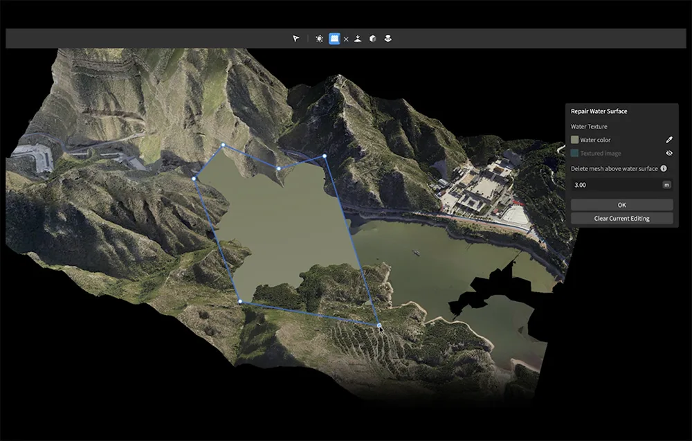
DJI Modify can identify suspended parts of a model and remove them quickly using rectangular selection or a single click. It also supports vehicle flattening, object removal or cloning, automatic hole detection and filling, and manual water surface drawing with control over height, shape, position, and coverage.
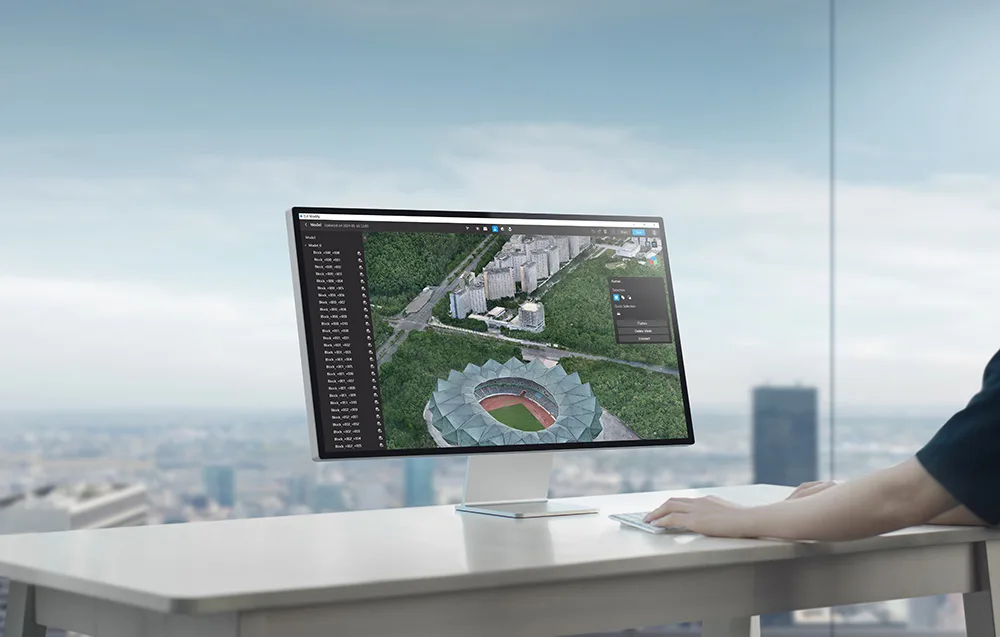
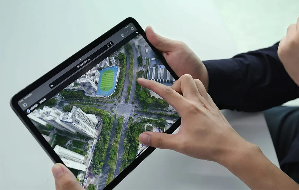
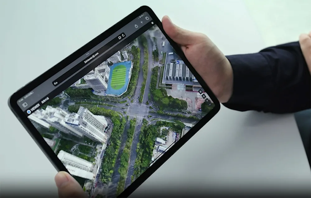
Finished models can be exported to formats such as PLY, OBJ, and B3DM, making them compatible with DJI Terra and third-party software. DJI Modify also supports cloud sharing – just send a link so others can view the model online without installing additional software, on both desktop and mobile devices.
| Feature / Version | Agriculture | Standard | Flagship | Cluster | Education |
|---|---|---|---|---|---|
| Agriculture applications | ✔ | ✔ | ✔ | ✔ | ✔ |
| 2D mapping (farmland/orchards) | ✔ | ✔ | ✔ | ✔ | ✔ |
| 2D mapping (urban areas) | — | ✔ | ✔ | ✔ | ✔ |
| 2D multispectral reconstruction | — | ✔ | ✔ | ✔ | ✔ |
| 3D mesh reconstruction | — | ✔ | ✔ | ✔ | ✔ |
| LiDAR point cloud reconstruction | — | ✔ | ✔ | ✔ | ✔ |
| Terrain Result | — | ✔ | ✔ | ✔ | ✔ |
| Gaussian Splatting technology | — | — | ✔ | ✔ | ✔ |
| Energy industry applications | — | — | ✔ | ✔ | ✔ |
| Cluster computing | — | — | — | ✔ | — |
| Max. linked devices | 3 | 1 | 1 | 1 device, 3 nodes | 10 |
| Authorization mode | Online | Online/Offline | Online/Offline | Offline | Online |
| Validity period | 1 year | 1 year / Lifetime | 1 year / Lifetime | Lifetime | Lifetime |
| Feature / Version | Standard | Flagship |
|---|---|---|
| 3D mesh editing | ✓ | ✓ |
| Point cloud editing | — | ✓ |
| Terrain result generation | — | ✓ |
| Cloud sharing | ✓ | ✓ |
| Result export | ✓ | ✓ |
| Max. linked devices | 1 | 1 |
| Authorization mode | Online | Online |
| Validity period | Lifetime | Lifetime |
 Get expert advice