


 Drone service
 Rental
 Reliability
 Trust
Trust Own warehouse
  Warranty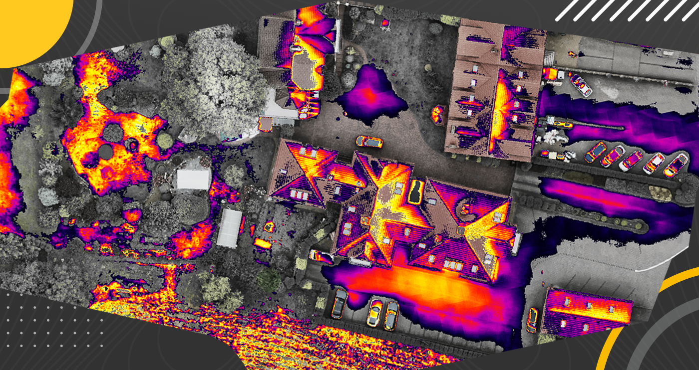
Megadron Blog
Find out what LiDAR software, 2D and 3D reconstruction, 3D building models, and orthophoto maps are used for.



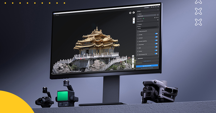
Take your drone mapping and 3D modeling projects to the next level with DJI Terra Standard Lifetime – a powerful, all-in-one software solution delivered as a convenient electronic license code. Designed to work seamlessly with DJI drones, DJI Terra combines advanced photogrammetry tools, LiDAR data processing, and intuitive workflows to help you move from data capture to detailed analysis faster and more efficiently.
Whether you are creating 2D maps, realistic 3D models, point clouds, or terrain reconstructions, DJI Terra gives you the flexibility and accuracy needed for a wide range of hobbyist and advanced drone applications.
DJI Terra Standard is built for speed, making it easier to handle both smaller jobs and large-scale mapping projects. The software can process around 500 photos per hour, while single-block modeling can often be completed in roughly 30–40 minutes. For larger datasets, the optimized engine significantly improves workflow efficiency, helping you generate results faster and keep projects moving.

From urban areas and industrial zones to infrastructure networks, DJI Terra is ready for demanding scenarios. It can process approximately 300–400 photos per 1 GB of available RAM, and a single reconstruction task can include up to 30,000 images. That means you can build detailed models of neighborhoods, facilities, and larger operational areas with confidence.
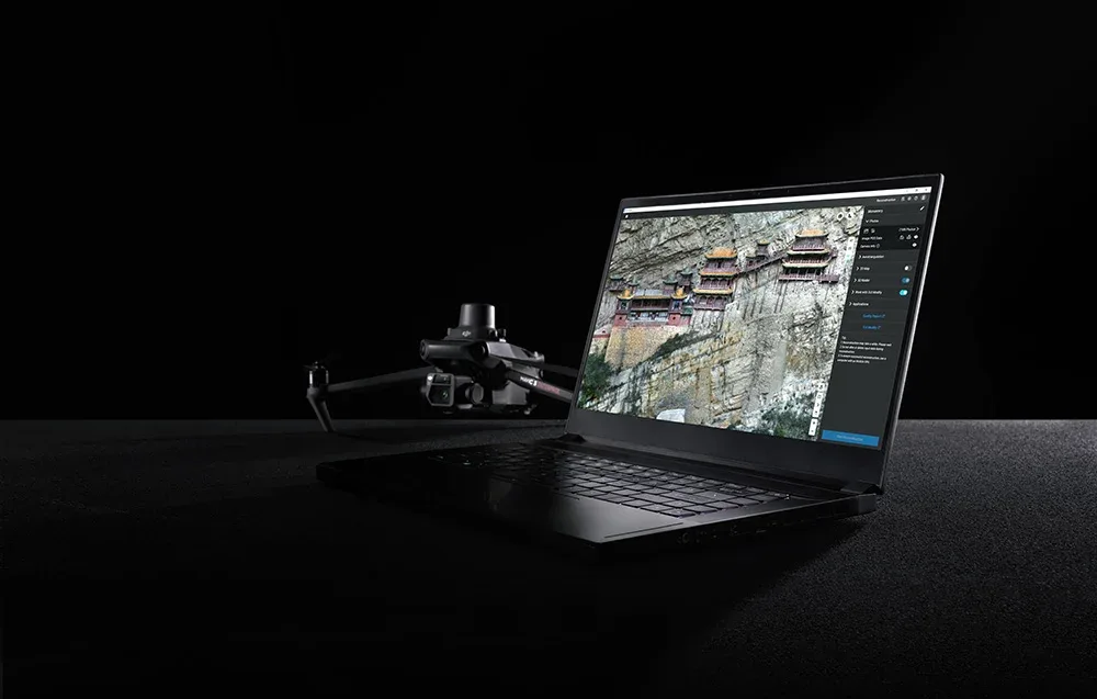
Despite its advanced capabilities, DJI Terra remains accessible to users without an ultra-expensive workstation. Stable operation is possible with a graphics card featuring 4 GB of VRAM and 32 GB of RAM, making advanced reconstruction more approachable for enthusiasts and experienced drone operators alike.
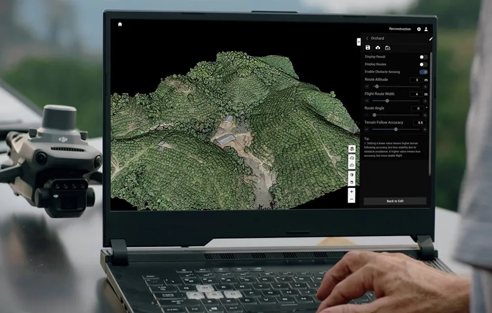
DJI Terra Standard can generate:
You can also adjust 2D map resolution and 3D mesh density to match your project needs. When paired with DJI drones equipped with RTK, the software can support highly accurate mapping workflows, even without ground control points in suitable scenarios.
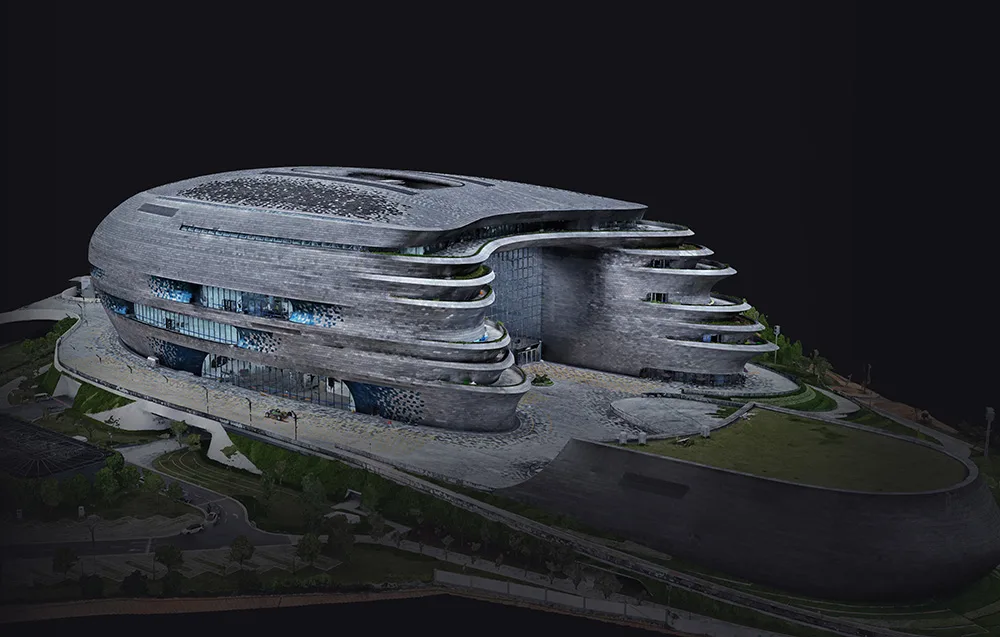
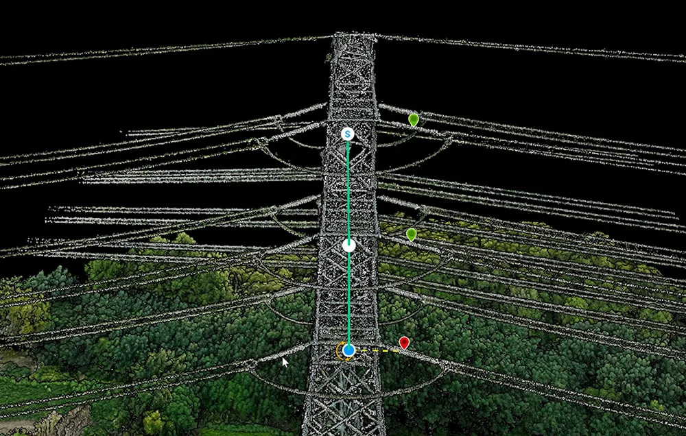
DJI Terra supports the integration of LiDAR data with visible-light imagery, helping you create more complete and detailed reconstructions. With compatible setups such as the Zenmuse L2, a single mission can deliver precise point clouds, 2D maps, and 3D mesh models at the same time. This is especially useful for complex objects like bridges, infrastructure, and dense terrain.
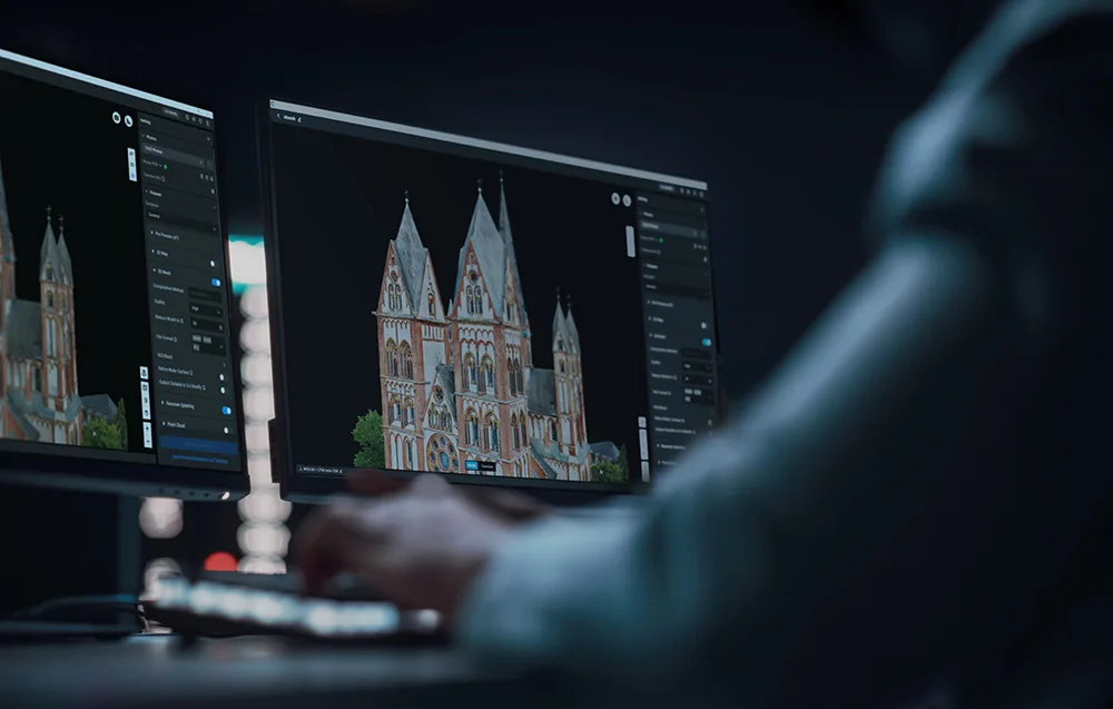
Finished reconstruction results can be exported with a single click to commonly used formats such as PLY and B3DM (3D Tiles). This makes DJI Terra a great fit for workflows involving surveying, urban planning, agriculture, infrastructure analysis, game development, and visual production.
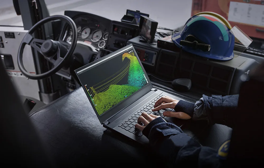
DJI Terra also supports data from drones such as the DJI Mavic 3 Multispectral and Phantom 4 Multispectral. It can generate vegetation index maps including NDVI and NDRE, as well as reflectance maps and spray routes for DJI Agras drones. This makes it a practical tool for precision agriculture and crop monitoring.
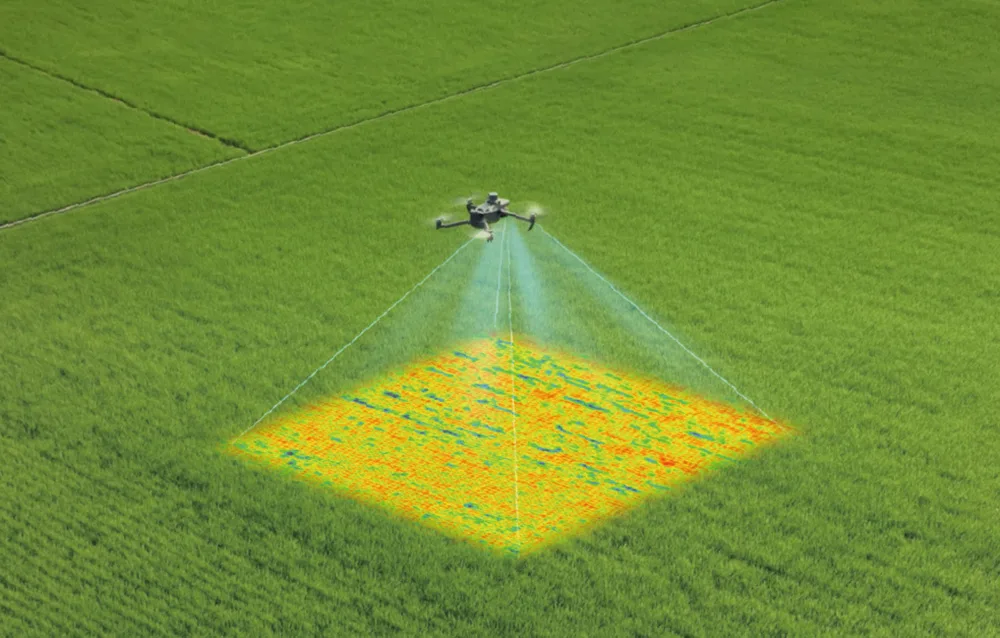
DJI Terra works with a wide range of DJI Enterprise devices and payloads, including selected products from the Matrice, Zenmuse, and D-RTK series. It also connects directly with DJI Modify, making it easy to move from reconstruction to mesh and point cloud editing in one streamlined workflow.
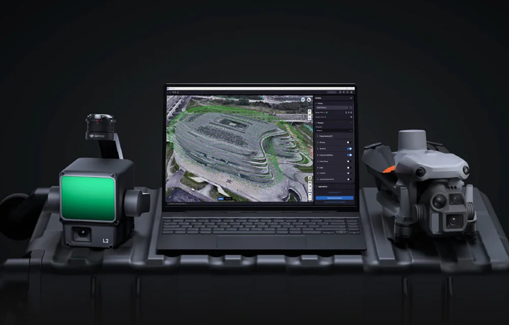
Looking for powerful drone mapping software with long-term value, broad functionality, and convenient digital delivery? DJI Terra Standard Lifetime is a smart choice for users who want reliable 2D and 3D reconstruction tools within the DJI ecosystem.
 Get expert advice