


 Drone service
 Rental
 Reliability
 Trust
Trust Own warehouse
  Warranty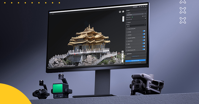
Find out what LiDAR software, 2D and 3D reconstruction, 3D building models, and orthophoto maps are used for.



DJI Terra Flagship is an advanced yet user-friendly 3D reconstruction and mapping software package designed for users who want powerful aerial data processing in one place. By combining modern photogrammetry, LiDAR support, visible-light imaging, and multispectral data processing, it creates a complete workflow from data capture to final analysis. The offline lifetime license makes it a great choice for users who want long-term access and dependable performance without recurring renewals.
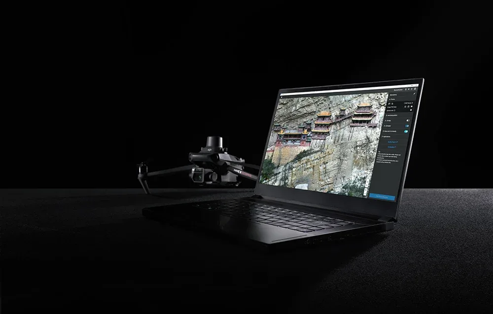
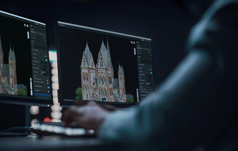
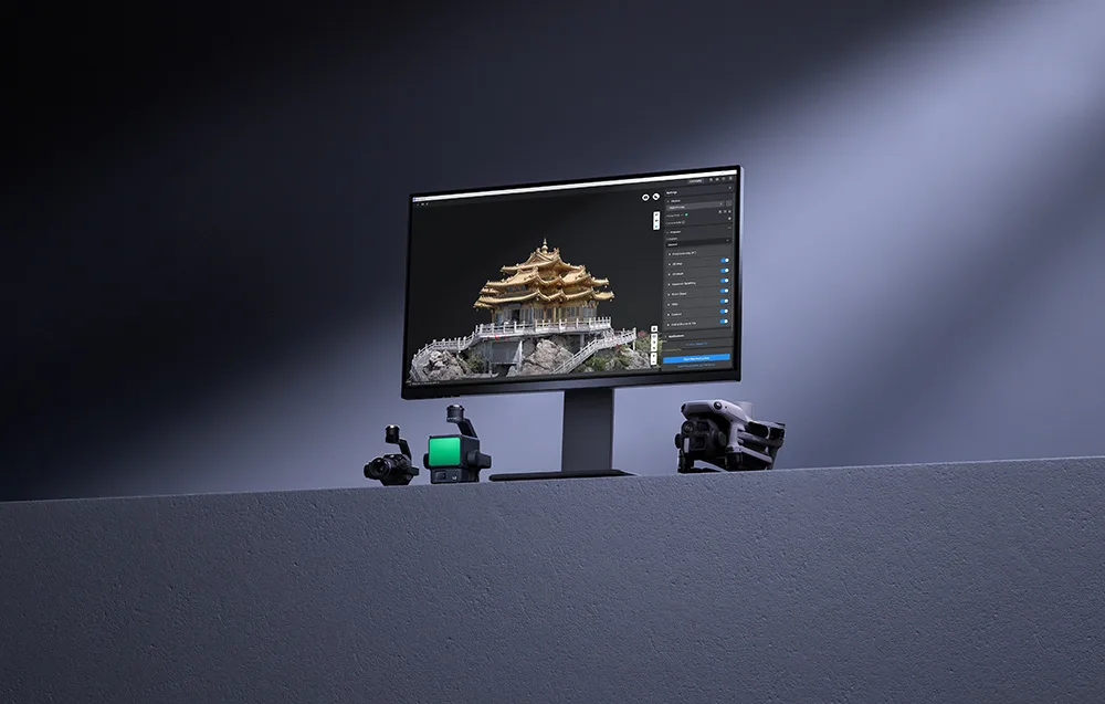
DJI Terra Flagship introduces 3D Gaussian Splatting technology, allowing you to build highly realistic spatial models from photos. This makes it easier to recreate detailed architecture, historical landmarks, vegetation, reflective surfaces, and other visually complex structures with impressive realism. Compared to traditional oblique photogrammetry, this method handles transparent elements, reflections, and fine details more effectively, while also helping generate cleaner distortion-free orthomosaics.
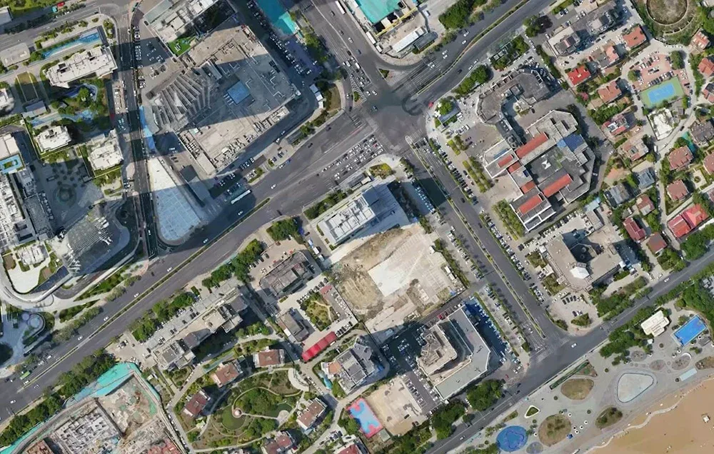
Performance is one of DJI Terra’s strongest advantages. The software can process around 500 images per hour, making single-block reconstruction possible in approximately 30 to 40 minutes. For large projects with more than 10,000 photos, the processing engine delivers significantly faster results than previous Terra Mesh-based workflows, helping you finish big mapping jobs more efficiently.

DJI Terra performs exceptionally well in challenging mapping scenarios. It can process approximately 300 to 400 photos per 1 GB of available RAM, and a single reconstruction task can include up to 30,000 images. That means you can confidently work on large city blocks, industrial parks, utility networks, and other extensive environments where detail and scalability matter.
Despite its advanced capabilities, DJI Terra remains accessible for users without ultra-expensive workstations. Stable operation is possible with a graphics card featuring 4 GB of VRAM and 32 GB of RAM, making high-quality 3D reconstruction more attainable for enthusiasts, creators, and advanced drone users.
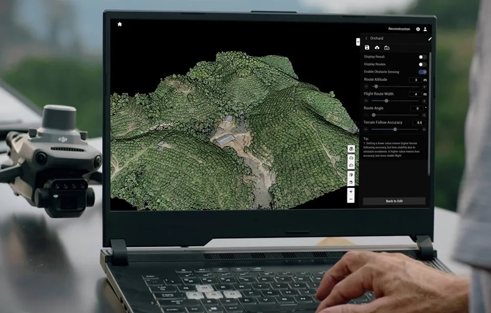
Reconstruction results can be exported with a single click to popular formats such as PLY and B3DM (3D Tiles). This makes DJI Terra a practical tool for workflows involving surveying, urban planning, GIS platforms, game development, film production, and many other visualization or engineering applications.
DJI Terra can generate high-quality 3D models, point clouds, orthomosaics, and DSM surface models from photo datasets. You can also fine-tune 2D map resolution and 3D mesh density to match the needs of your project. When paired with DJI drones equipped with RTK positioning, the software enables highly accurate mapping results that can meet 1:500 mapping standards without requiring ground control points.
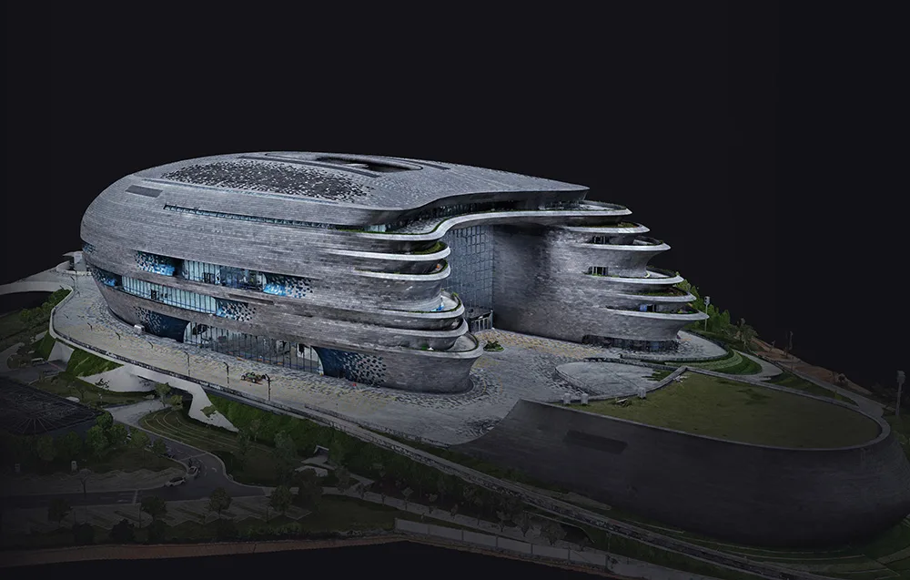
DJI Terra is fast enough to deliver results even while you are still on site, especially for smaller projects. For larger 3D reconstructions, it can process up to 30,000 photos in three days on a single workstation, or in as little as 21 hours in a clustered environment. In 2D workflows, 5,000 images can be processed in under 2 hours, with cluster-based processing reducing that time even further.

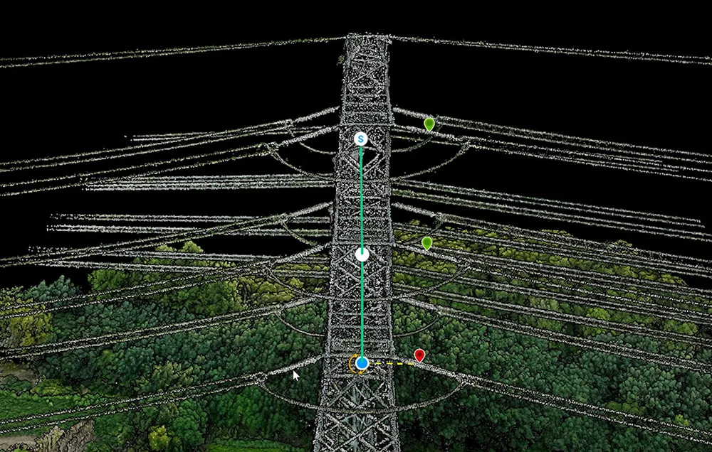
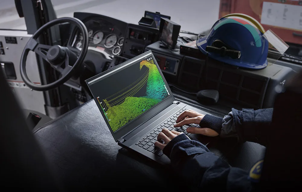
DJI Terra supports deep integration of LiDAR data and visible-light imagery. A single flight using Zenmuse L2 can provide precise point clouds, 2D maps, and 3D mesh models at the same time. This leads to richer, more complete reconstructions, especially for difficult structures such as bridges or complex infrastructure. With RTK and PPK workflows, centimeter-level accuracy is possible without the need for ground control points. The software can also automatically generate flight paths based on local 3D models or point clouds, including data imported from external sources.
For LiDAR projects, DJI Terra can process around 1 GB of point cloud data per 1 GB of available RAM. In practical terms, a computer with 32 GB of RAM can handle up to 120 GB of data, covering approximately 10 km². For large city-scale datasets, systems with 128 GB RAM can be used for even broader reconstruction tasks.
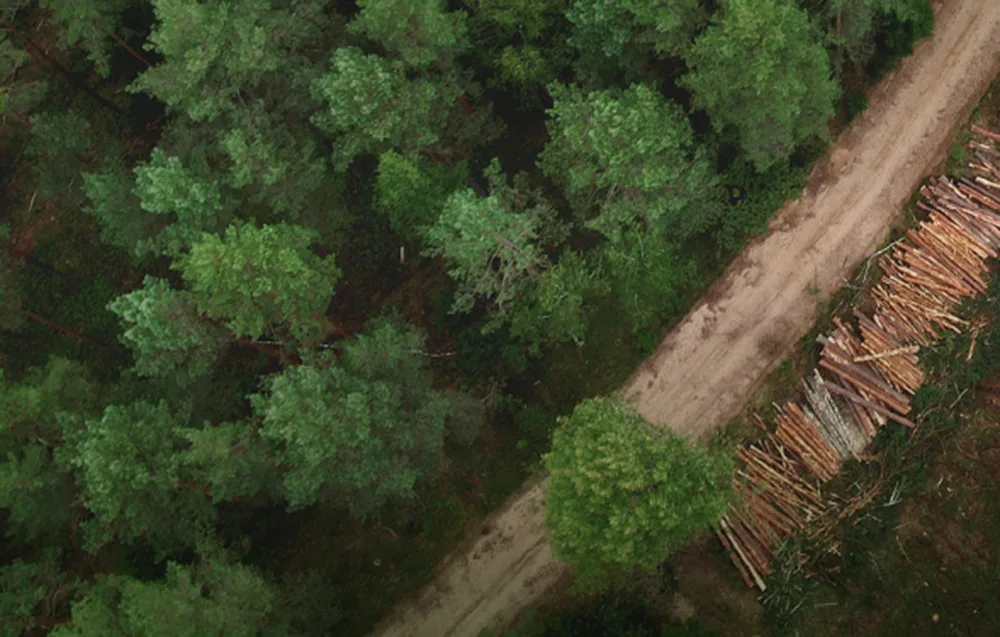
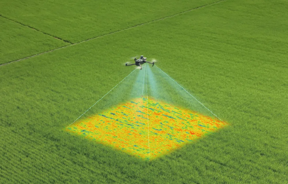
DJI Terra supports data from DJI Mavic 3 Multispectral and Phantom 4 Multispectral drones, enabling the creation of vegetation index maps such as NDVI and NDRE. It can also generate reflectance maps and spray routes for DJI Agras drones, including variable-rate application plans. After selecting the crop type, whether farmland or orchard, the software creates optimized 2D maps that can support smarter agricultural planning and lower operating costs.
For users working with massive datasets, DJI Terra is ready for distributed processing. In a five-workstation setup, the software can process 30,000 images in around 21 hours. This scalable architecture gives you the flexibility to expand your processing power depending on project size and workflow demands.

DJI Terra works with a wide range of DJI Enterprise hardware, including DJI Matrice 4E, DJI Matrice 400, Zenmuse P1, Zenmuse L2, and the D-RTK 3 station. Together, they create a complete mapping and reconstruction ecosystem for aerial surveying, LiDAR capture, and professional-grade spatial data creation.
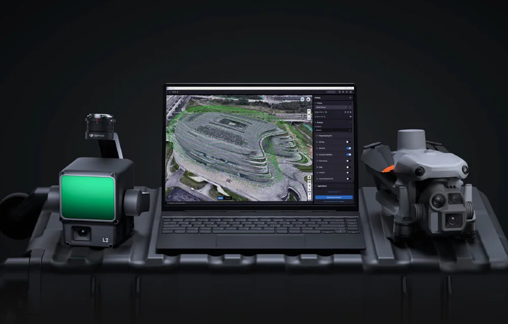
With a single click, you can send models from DJI Terra directly to DJI Modify, DJI’s dedicated mesh and point cloud editing tool. There you can use advanced features such as smoothing, denoising, sampling, terrain classification, and export to GIS and CAD environments. Combined with DJI drones, Terra and Modify create a streamlined workflow from capture and reconstruction to editing and sharing.
DJI Terra includes a broad set of professional features such as local and cloud-based PPK processing, control point and checkpoint marking, support for more than 8,500 coordinate systems, PRJ files, and seven-parameter transformations. The software also supports measurement, annotations, and export aligned with local cartographic standards, making it a versatile tool for precise geospatial workflows.
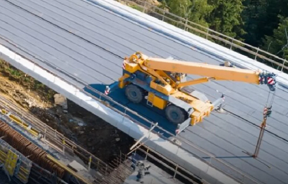
DJI Terra Flagship is a versatile choice for anyone who needs accurate spatial analysis and efficient data management. It works well in surveying and cartography, public safety, energy, oil and gas, water infrastructure, precision agriculture, construction, film production, and even game content creation. If your hobby or project involves aerial mapping, digital twins, terrain analysis, or advanced 3D visualization, this software gives you plenty of room to grow.
| Function / Version | Agriculture | Standard | Flagship | Cluster | Education |
|---|---|---|---|---|---|
| Agriculture use | ✔ | ✔ | ✔ | ✔ | ✔ |
| 2D Mapping (farmland/orchards) | ✔ | ✔ | ✔ | ✔ | ✔ |
| 2D Mapping (urban areas) | — | ✔ | ✔ | ✔ | ✔ |
| 2D Multispectral reconstruction | — | ✔ | ✔ | ✔ | ✔ |
| 3D Mesh reconstruction | — | ✔ | ✔ | ✔ | ✔ |
| LiDAR point cloud reconstruction | — | ✔ | ✔ | ✔ | ✔ |
| Terrain Result | — | ✔ | ✔ | ✔ | ✔ |
| Gaussian Splatting technology | — | — | ✔ | ✔ | ✔ |
| Energy sector applications | — | — | ✔ | ✔ | ✔ |
| Cluster computing | — | — | — | ✔ | — |
| Max. linked devices | 3 | 1 | 1 | 1 device, 3 nodes | 10 |
| Authorization mode | Online | Online / Offline | Online / Offline | Offline | Online |
| Validity period | 1 year | 1 year / perpetual | 1 year / perpetual | Perpetual | Perpetual |
 Get expert advice