


Camera DJI Zenmuse L3 + DJI Care Enterprise Plus 1 year

 Drone service
 Rental
 Reliability
 Trust
Trust Own warehouse
  Warranty
DJI Zenmuse L3 Camera + DJI Care Enterprise Plus for 1 Year
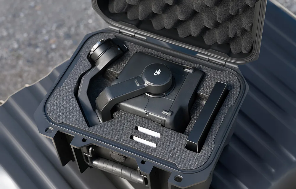
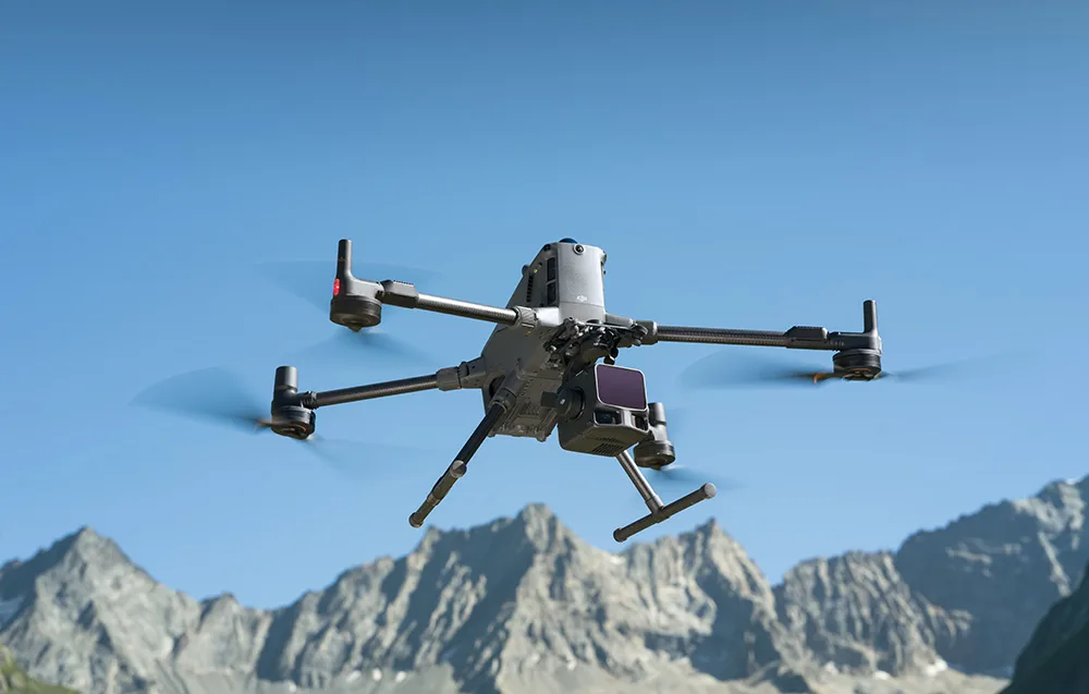
Take your aerial mapping and inspection missions to the next level with the DJI Zenmuse L3 — an advanced airborne LiDAR payload designed for users who need top-tier precision, broad coverage, and reliable performance in the field. This powerful system combines a 1535 nm LiDAR rangefinder, dual 100 MP RGB cameras, a high-precision POS system, and a 3-axis gimbal to deliver detailed point clouds, realistic 3D models, orthomosaics, and terrain data in a single flight.
It is an excellent choice for demanding applications such as forestry, power line inspection, mining, surveying, and search & rescue operations. The set also includes DJI Care Enterprise Plus for 1 year, giving you added peace of mind and extra support throughout your ownership.
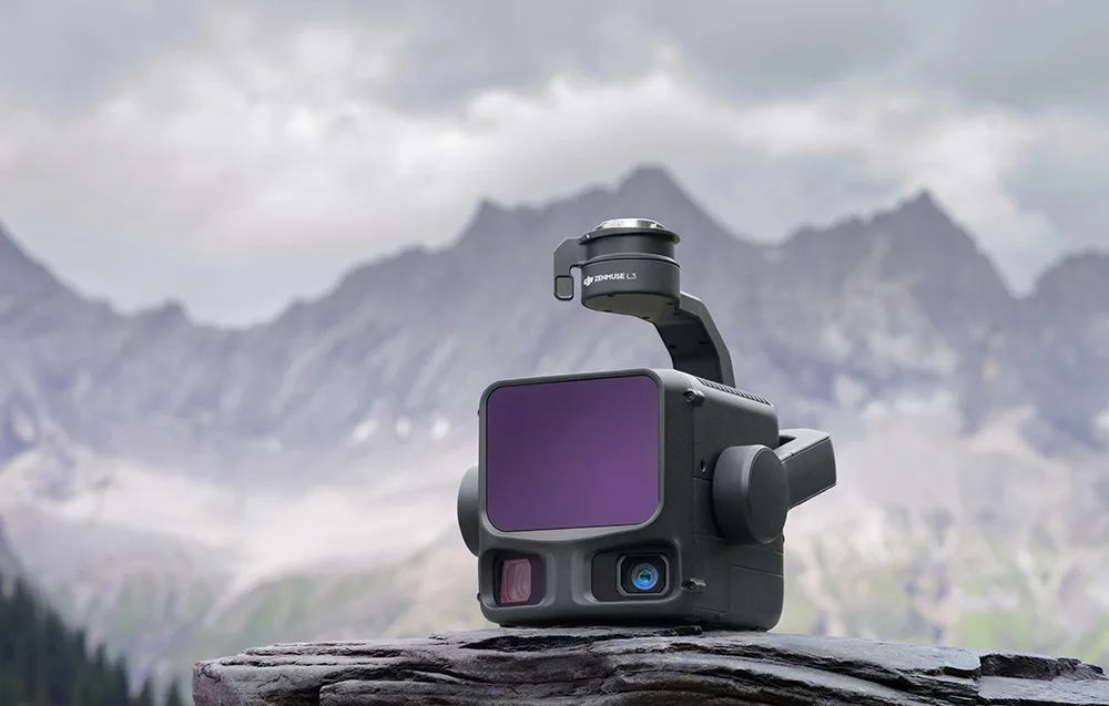
Why choose DJI Zenmuse L3?
- Long-range LiDAR detection up to 950 m at 10% reflectivity
- Dual 100 MP RGB cameras with 4/3 CMOS sensors and mechanical shutters
- Up to 2 million laser pulses per second for dense, highly detailed point clouds
- Support for up to 16 returns for better vegetation penetration and terrain reconstruction
- Three scanning modes tailored to mapping, inspection, and complex environments
- Wide 107° horizontal field of view for efficient coverage
- High-precision POS system for dependable measurement accuracy
- Seamless DJI Enterprise ecosystem integration with DJI Pilot 2, Terra, Modify, and FlightHub 2
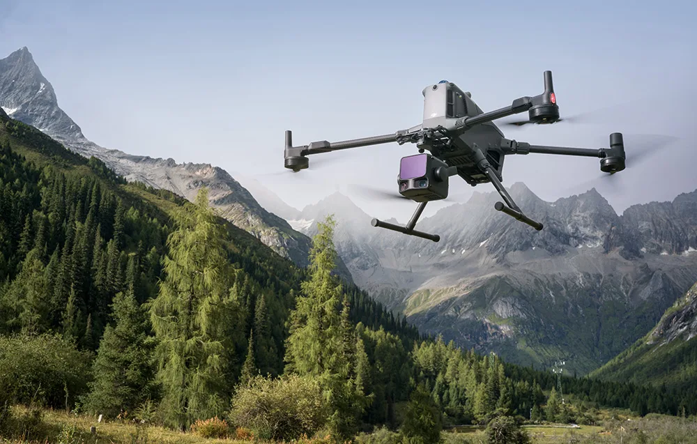
- Up to 100 km² of daily coverage when paired with DJI Matrice 400
- 1-year DJI Care Enterprise Plus included
Long range and wide-area efficiency
At the core of the Zenmuse L3 is a 1535 nm LiDAR module with a detection range of up to 950 meters at 10% object reflectivity. Adjustable pulse repetition rates of up to 100 kHz help optimize the balance between range, point cloud density, and workflow efficiency. At typical flight altitudes of 300–500 m, the system can significantly increase the area covered in a single pass, reducing mission time and improving productivity.
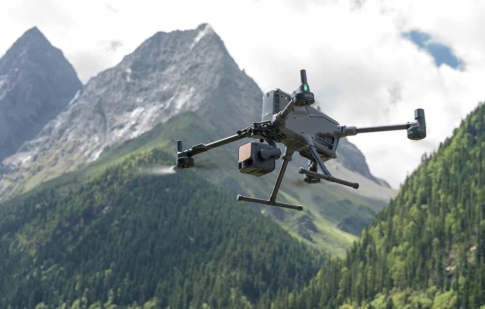
Sharper beam, better penetration
The Zenmuse L3 uses an ultra-low beam divergence of just 0.25 mrad (1/e²), resulting in a laser spot up to five times smaller than that of the previous generation at the same distance. In real-world use, this means improved detection of small objects such as power lines, branches, and fine structural details, while maintaining excellent ground point density. The higher pulse energy also improves vegetation penetration, helping reveal the terrain beneath dense canopies.
With up to 2 million laser pulses per second and support for up to 16 returns, the Zenmuse L3 produces exceptionally rich point clouds and accurate spatial reconstructions in both open and complex environments. You can also adjust point density and penetration performance to suit the needs of each task.
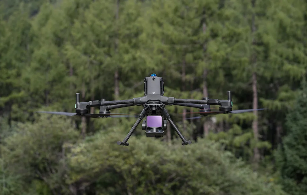
Three scanning modes for different missions
The Zenmuse L3 offers three scanning modes, making it easy to match the sensor’s behavior to your current workflow:
- Linear – even point distribution, ideal for topographic mapping
- Star-Shaped – multiple scan angles and stronger penetration, perfect for forests and urban areas
- Non-Repetitive – wider coverage and varied viewing angles, especially useful for power line and infrastructure inspections
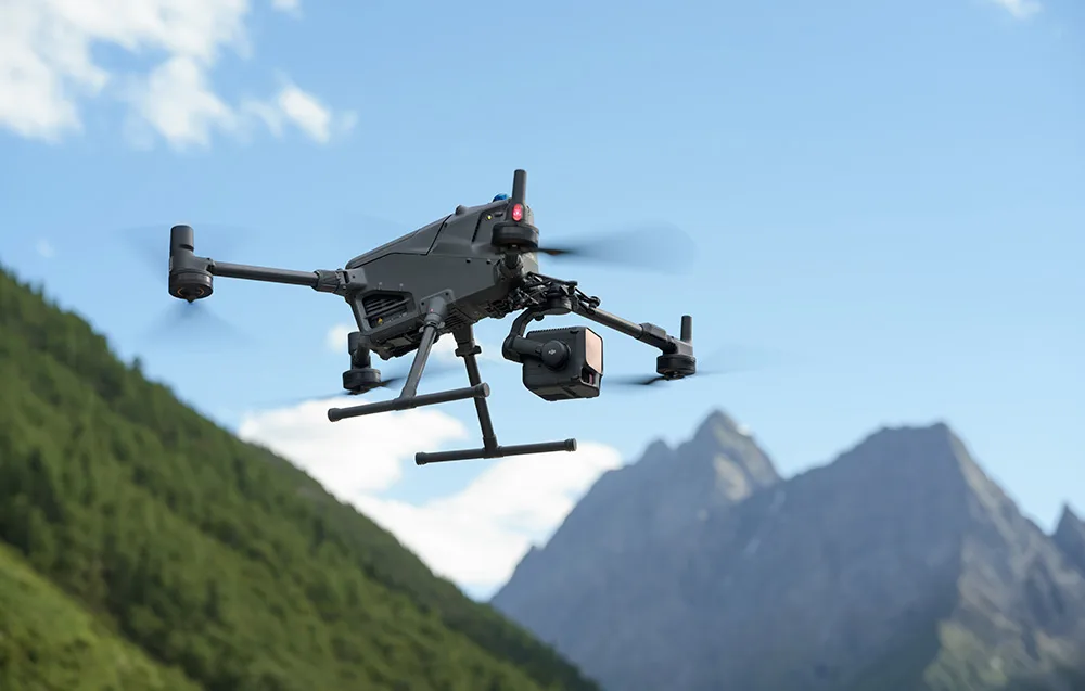
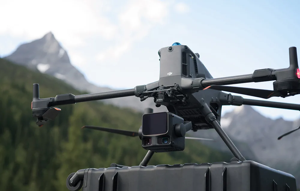
Dual 100 MP RGB camera system
The dual RGB camera setup features 4/3 CMOS sensors, 100 MP resolution, and mechanical shutters for precise, high-quality imaging. Binning technology creates an effective 25 MP output with larger pixels, improving color reproduction and detail retention even in lower light conditions. A wide 107° horizontal field of view allows you to capture a much larger area in one mission.
Even with side overlap as low as 20%, you can collect data for both digital orthomosaic maps (DOM) and digital elevation models (DEM) during a single flight. That means fewer flights, faster project completion, and a more efficient workflow overall.
High-precision POS system and accurate data
The built-in proprietary POS system delivers heading accuracy of 0.02° and pitch/roll accuracy of 0.01° after processing (1σ). The LiDAR itself offers distance repeatability of 5 mm at 150 m, with microsecond-level time synchronization. Every Zenmuse L3 unit undergoes strict factory calibration to ensure consistent and dependable performance.
Vertical LiDAR accuracy reaches up to 3 cm at 120 m, 5 cm at 300 m, and 10 cm at 500 m, making the system suitable for projects at scales such as 1:500, 1:1000, and 1:2000. Thanks to the dual 100 MP RGB cameras, the system can also achieve a GSD of around 3 cm at a flight altitude of 300 m. Real-time synchronization helps capture high-quality data without the need for ground control points in many scenarios, saving valuable time in the field.
Impressive performance in the field
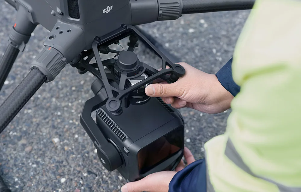
With its smaller laser spot and higher single-pulse energy, the Zenmuse L3 provides excellent penetration capability and captures more ground points during terrain mapping. This leads to better data integrity and more precise results. When paired with the DJI Matrice 400, the camera can cover up to 10 km² in a single flight and up to 100 km² per day.
Because LiDAR and RGB data are captured simultaneously, one mission is often enough to generate a point cloud, 3D model, DEM, and DOM — a major time saver for advanced aerial workflows.
Fully integrated DJI Enterprise ecosystem
The Zenmuse L3 is part of the DJI Enterprise ecosystem, giving you a complete workflow from mission planning to analysis and reporting. DJI Pilot 2 offers automatic parameter recommendations, profile density previews, and point cloud distribution visualization before takeoff. During flight, you can use 2D/3D real-time preview and SLAM reconstruction to verify progress and accuracy on the spot.
Split-screen viewing lets you monitor two information sources at once, and the Power Line Follow feature is especially useful for utility inspections. Data can also be uploaded automatically to the cloud through DJI FlightHub 2, where it can be reviewed, annotated, and measured directly in a browser interface.
Advanced data processing and analysis
The Zenmuse L3 works with DJI Terra, which supports PPK processing for both LiDAR and RGB data, enabling centimeter-level positioning accuracy even without RTK. Support for Gaussian Splatting enhances realism and detail, while smart data integration makes it easier to generate point clouds, 2D maps, and 3D models. The system also works with DJI Modify for streamlined classification and data analysis.
Reliable security and protection
The Zenmuse L3 supports CFexpress memory card encryption, helping protect sensitive data from unauthorized access. When used with the DJI Matrice 400, the system also benefits from AES-256 video transmission encryption and one-tap log clearing, making it a strong choice for demanding industrial and public-sector workflows.

Technical Specifications
General
| Manufacturer | DJI |
|---|---|
| Product Name | Zenmuse L3 |
| Manufacturer Code | CP.EN.00000703.01 |
| Point Cloud System Accuracy | Flight altitude 120 m: Vertical accuracy: 3 cm (RMSE) Horizontal accuracy: 4 cm (RMSE) Flight altitude 300 m: Vertical accuracy: 5 cm (RMSE) Horizontal accuracy: 7.5 cm (RMSE) |
| Point Cloud Thickness | 1.2 cm @ 1 σ (120 m, nadir flight), 2 cm @ 1 σ (300 m, nadir flight) |
| Horizontal Field of View (combined RGB cameras) | 107° |
| GSD (RGB) | Average: 3 cm (300 m, nadir flight) |
| Camera Weight | 1.60 kg (without gimbal connector) |
| Dimensions | 192 × 162 × 202 mm (L × W × H) |
| Power Consumption | Typical: 64 W Maximum: 100 W |
| Supported Aircraft Platforms | DJI Matrice 400 (requires Zenmuse L3 gimbal connector) |
| Ingress Protection Rating | IP54 |
| Operating Temperature | -20°C to 50°C |
| Storage Temperature | -40°C to 70°C |
LiDAR
| Laser Wavelength | 1535 nm |
|---|---|
| Beam Divergence | 0.25 mrad (1/e²) |
| Spot Size | 41 mm @ 120 m (1/e²), 86 mm @ 300 m (1/e²) |
| Detection Range | 700 m @ 10% reflectivity (350 kHz), 950 m @ 10% reflectivity (100 kHz), 2000 m @ 80% reflectivity (100 kHz) |
| Wire Detection Range | 21.6 mm steel-core aluminum-stranded wire: 300 m @ 100 klx, 350 kHz 18.4 mm black PVC wire: 100 m @ 100 klx, 350 kHz |
| Ranging Accuracy | Absolute: ±10 mm; Repeatability: < 5 mm (1σ) |
| Minimum Effective Detection Distance | 10 m |
| Pulse Repetition Frequency | 100 kHz: recommended altitude < 500 m 350 kHz: recommended altitude < 300 m 1000 kHz: recommended altitude < 100 m 2000 kHz: recommended altitude < 50 m |
| Number of Returns | 4, 8, 16 (100 kHz, 350 kHz) 4, 8 (1000 kHz) 4 (2000 kHz) |
| Inter-Cycle Calculations | 7 times |
| Scanning Modes and Field of View | Linear: 80° horizontal, 3° vertical Star-Shaped: 80° horizontal, 80° vertical Non-Repetitive: 80° horizontal, 80° vertical |
| Laser Safety Class | Class 1 (IEC 60825-1:2014) |
RGB Mapping Cameras
| Sensor | 4/3 CMOS |
|---|---|
| Equivalent Focal Length | 28 mm |
| Field of View | 73.3° (diagonal), 62° (horizontal), 41.2° (vertical) |
| Aperture | f/2.0–f/11 |
| Shutter | Mechanical shutter speed: 2–1/1500 s (f/2.0), 2–1/2000 s (f/2.8–f/11) Durability: 500,000 cycles Electronic shutter speed: 2–1/16000 s |
| Photo Resolution | 100 MP: 12288 × 8192 25 MP: 6144 × 4096 |
| Minimum Photo Interval | JPEG 25 MP: 0.5 s 100 MP: 1 s RAW or JPEG+RAW 1.2 s |
| Video Format | MP4 (MPEG-4 HEVC/H.265) |
| Video Resolution | 4K: 3840 × 2160 @ 30 FPS FHD: 1920 × 1080 @ 30 FPS |
Positioning and Orientation System (POS)
| GNSS Update Rate | 5 Hz |
|---|---|
| POS Update Rate | 200 Hz |
| Position Error | Yaw angle: 0.02° (processed, 1σ) Pitch/Roll angle: 0.01° (processed, 1σ) |
| Positioning Accuracy | Horizontal: 1.0 cm + 1 ppm (RTK fix) Vertical: 1.5 cm + 1 ppm (RTK fix) |
| Supported PPK Differential Data Formats | DAT (D-RTK 3 / D-RTK 2), RINEX v2.1x, v3.0x, RTCM v3.0–v3.3 (MSM3, MSM4, MSM5, MSM6, MSM7), OEM: OEM4, OEM6 |
Gimbal
| Number of Axes | 3 (pitch, roll, yaw) |
|---|---|
| Angular Accuracy | ±0.01° |
| Mechanical Range | Pitch: -135° to +73° Roll: -90° to +60° Yaw: -105° to +105° |
| Controlled Range | Pitch: -120° to +60° Yaw: -80° to +80° |
| Mount Type | Detachable DJI SKYPORT (single Zenmuse L3 gimbal connector) |
| Self-Diagnostic Method | Roll axis: not required Yaw axis: checked using a stopper Pitch axis: not required |
Memory and Data Storage
| Raw Data Recording | Photos / IMU / Point Cloud / GNSS / Calibration Files |
|---|---|
| Memory Card | CFexpress™ Type B, sequential write speed 1500 MB/s |
| Card Reader | Read/write speed > 900 MB/s |
Software Ecosystem
| Data Collection | DJI Pilot 2 |
|---|---|
| Data Processing | DJI Terra |
| Data Application | DJI Modify |
| Cloud Application | DJI FlightHub 2 |
| Supported Export Formats (DJI Terra) | PNTS / LAS / LAZ / PLY / PCD / S3MB |
| Supported Import Formats (DJI Modify) | LAS |
Specification Camera DJI Zenmuse L3 + DJI Care Enterprise Plus 1 year
 Get expert advice